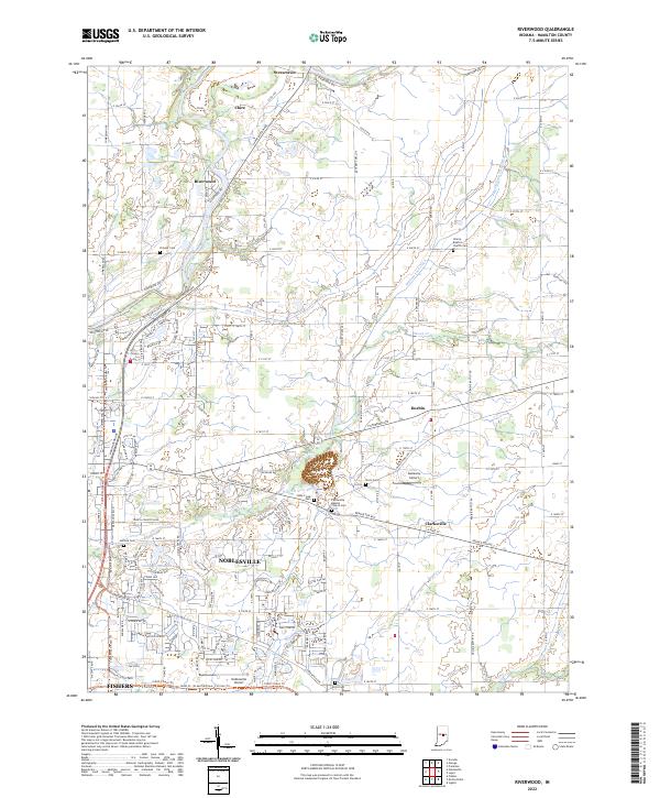
2022 Map of Riverwood
USGS Topo · Published 2022About this map
The White River winds through the northern portion of this Hamilton County landscape, passing the small communities of Strawtown and Clare before reaching Riverwood. The terrain here is characterized by a dense network of agricultural drainage and small waterways, including the William Lock Ditch, William Lehr Ditch, and Gwinn Ditch, which support the fertile lands between Durbin and Clarksville. Toward the southern edge, the suburban expansion of Noblesville and the northern fringe of Fishers are evident, showing a transition from rural farmsteads to modern residential developments.
Find a feature on this map
155 named features on this map. Tap any name to fly to it.
Don’t see what you’re looking for? This feature index may not catch every label — zoom into the map to look around manually.
Map Details
Editions of this 2022 Riverwood Map
This is the sole edition of this map. No revisions or reprints were ever made.
Other maps of this area

1952 · Fishers
USGS Topo · 1:24,000

1952 · Ingalls
USGS Topo · 1:24,000

1952 · Mc Cordsville
USGS Topo · 1:24,000

1953 · Lapel
USGS Topo · 1:24,000

1953 · Riverwood
USGS Topo · 1:24,000

1953 · Noblesville
USGS Topo · 1:24,000

1953 · Cincinnati
USGS Topo · 1:250,000

1953 · Danville
USGS Topo · 1:250,000

1953 · Indianapolis
USGS Topo · 1:250,000

1953 · Muncie
USGS Topo · 1:250,000