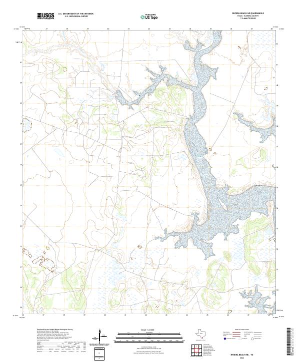
2022 Map of Riviera Beach NE
USGS Topo · Published 2022About this map
Hydrological systems define the coastal plains of Kleberg County in this 2022 survey, where the winding courses of Chiltipin Cr and Tunas Cr drain toward the Baffin Bay complex. The landscape is characterized by its intricate wetland margins and the low-elevation drainage patterns typical of the South Texas brush country. While the inland reaches are dominated by a grid of rural access roads and wide open parcels, the eastern portion of the map transitions into the expansive salt flats and shallow estuarine waters that characterize this segment of the Texas shoreline. This recent record from the U.S. Geological Survey captures the modern state of these seasonal watercourses and the sparse, primarily agricultural infrastructure that supports the local ranching economy in the vicinity of the coast.
Find a feature on this map
2 named features on this map. Tap any name to fly to it.
Don’t see what you’re looking for? This feature index may not catch every label — zoom into the map to look around manually.
Map Details
Editions of this 2022 Riviera Beach NE Map
This is the sole edition of this map. No revisions or reprints were ever made.
Other maps of this area

1924 · Petronilla
USGS Topo · 1:62,500

1925 · Oso Creek
USGS Topo · 1:62,500

1928 · Sarita
USGS Topo · 1:125,000

1950 · Corpus Christi
USGS Topo · 1:250,000

1951 · South Bird Island NW
USGS Topo · 1:24,000

1951 · Point Of Rocks
USGS Topo · 1:24,000

1951 · Kleberg Point
USGS Topo · 1:24,000

1951 · Riviera Beach NE
USGS Topo · 1:24,000

1951 · Oso Creek
USGS Topo · 1:62,500

1951 · South Bird Island
USGS Topo · 1:62,500