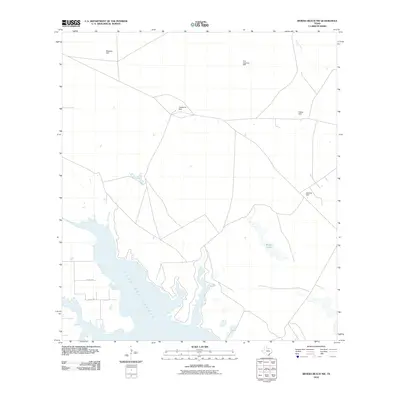
2010 Map of Riviera Beach NW
USGS Topo · Published 2010About this map
The coastal inlet of Cayo Del Grullo dominates this corner of Kleberg County, where the transition from saltwater estuary to arid ranch land is sharply defined by the presence of numerous isolated water wells. These named features, including Mesquite Well, Telephone Well, and Jabalina Well, reveal the vital role of groundwater management in the South Texas coastal plain. The landscape is carved by intermittent drainages like Pinto Creek and Tunas Creek, which feed toward the coast, while the interior is dotted with features like Madero Lake. This survey captures the sparse infrastructure of the early 21st century, where county roads like Co RD 2190 provide the primary access to these remote ranching outposts.
Find a feature on this map
11 named features on this map. Tap any name to fly to it.
Don’t see what you’re looking for? This feature index may not catch every label — zoom into the map to look around manually.
Map Details
Editions of this 2010 Riviera Beach NW Map
This is the sole edition of this map. No revisions or reprints were ever made.
Other maps of this area

1924 · Petronilla
USGS Topo · 1:62,500

1928 · Sarita
USGS Topo · 1:125,000

1950 · Corpus Christi
USGS Topo · 1:250,000

1951 · Kleberg Point
USGS Topo · 1:24,000

1951 · Riviera Beach NE
USGS Topo · 1:24,000

1952 · Riviera Beach
USGS Topo · 1:24,000

1952 · Riviera Beach NW
USGS Topo · 1:24,000

1952 · Riviera Beach
USGS Topo · 1:62,500

1954 · Kingsville
USGS Topo · 1:62,500

1954 · Petronila
USGS Topo · 1:62,500