
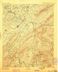
1894 Map of Roan Mountain
USGS Topo · Published 1894About this map
The East Tennessee Virginia and Georgia Railroad serves as the primary artery through this late 19th-century mountainous landscape, connecting the growing hub of Johnson with Jonesboro. The geography is defined by the high ridges of Iron Mountain and Buffalo Mountain, where industrial outposts like the Terry Furnace and Embreeville appear alongside older agricultural sites like Bowman Mill.
Find a feature on this map
87 named features on this map. Tap any name to fly to it.
Don’t see what you’re looking for? This feature index may not catch every label — zoom into the map to look around manually.
Map Details
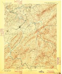
Editions of this 1894 Roan Mountain Map
3 editions found
Other maps of this area

1891 · Roan Mountain
USGS Topo · 1:125,000

1891 · Abingdon
USGS Topo · 1:125,000

1892 · Greeneville
USGS Topo · 1:125,000

1893 · Cranberry
USGS Topo · 1:125,000

1894 · Asheville
USGS Topo · 1:125,000

1894 · Abingdon
USGS Topo · 1:125,000

1894 · Estillville
USGS Topo · 1:125,000

1895 · Cranberry
USGS Topo · 1:125,000

1896 · Greeneville
USGS Topo · 1:125,000

1897 · Bristol
USGS Topo · 1:125,000