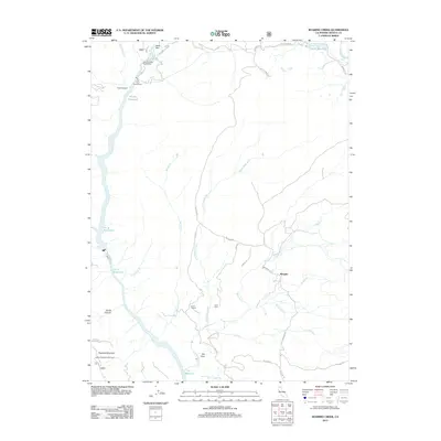
2012 Map of Roaring Creek
USGS Topo · Published 2012About this map
The Pit River corridor in Shasta County dominates this 2012 landscape, revealing a sophisticated hydroelectric network including the Pit Five Powerhouse and James B Black Powerhouse. These industrial features are integrated into a system of large impoundments such as the Pit 6 Reservoir and Pit 7 Reservoir. Near the settlement of Wengler, the terrain transitions into complex drainages fed by Roaring Cr and Little Roaring Cr.
Find a feature on this map
37 named features on this map. Tap any name to fly to it.
Don’t see what you’re looking for? This feature index may not catch every label — zoom into the map to look around manually.
Map Details
Editions of this 2012 Roaring Creek Map
This is the sole edition of this map. No revisions or reprints were ever made.
Other maps of this area
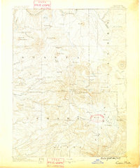
1886 · Lassen Peak
USGS Topo · 1:250,000
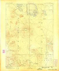
1886 · Modoc Lava Bed
USGS Topo · 1:250,000
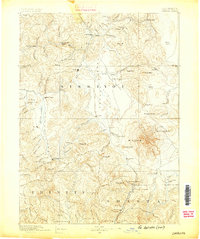
1886 · Shasta
USGS Topo · 1:250,000
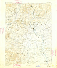
1890 · Red Bluff
USGS Topo · 1:250,000
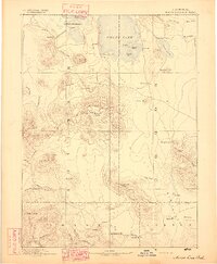
1892 · Modoc Lava-Bed
USGS Topo · 1:250,000
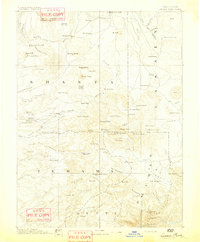
1892 · Lassen Peak
USGS Topo · 1:250,000
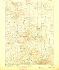
1894 · Lassen Peak
USGS Topo · 1:250,000
1894 · Red Bluff
USGS Topo · 1:250,000
1894 · Shasta
USGS Topo · 1:250,000
1901 · Redding
USGS Topo · 1:125,000