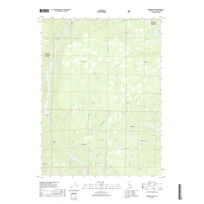
2018 Map of Roaring Creek
USGS Topo · Published 2018About this map
Shasta National Forest dominates this northern California landscape, where the Pit River winds through high-elevation terrain punctuated by Iron Canyon and Devils Canyon. Small, dispersed settlements like Wengler and The Cove are connected by a network of forest roads, including Big Bend Rd and Roaring Ridge Rd. A notable point of interest for local historians is the Cove Cem, situated near the confluence of Little Roaring Cr and its tributaries. The map highlights a landscape defined by significant water features, from the cascading Hatchet Creek Falls to several named mountain creeks such as Marble Cr and Butter Cr. Significant infrastructure is represented by the PG&E Right-Of-Way, which traverses the central ridges between the major drainages.
Find a feature on this map
37 named features on this map. Tap any name to fly to it.
Don’t see what you’re looking for? This feature index may not catch every label — zoom into the map to look around manually.
Map Details
Editions of this 2018 Roaring Creek Map
This is the sole edition of this map. No revisions or reprints were ever made.
Other maps of this area

1886 · Lassen Peak
USGS Topo · 1:250,000

1886 · Modoc Lava Bed
USGS Topo · 1:250,000

1886 · Shasta
USGS Topo · 1:250,000

1890 · Red Bluff
USGS Topo · 1:250,000

1892 · Modoc Lava-Bed
USGS Topo · 1:250,000

1892 · Lassen Peak
USGS Topo · 1:250,000

1894 · Lassen Peak
USGS Topo · 1:250,000

1894 · Red Bluff
USGS Topo · 1:250,000

1894 · Shasta
USGS Topo · 1:250,000

1901 · Redding
USGS Topo · 1:125,000