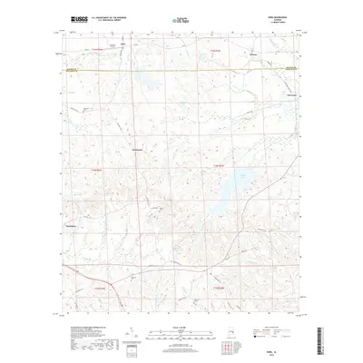
2018 Map of Roba
USGS Topo · Published 2018About this map
Roba and Hannon anchor the northern landscape of this rural survey, which captures the quiet, creek-crossed borderlands between Macon and Bullock Counties. The area is defined by its small, scattered settlements such as Suspension and Guerryton, connected by a network of local routes like Bullock Co 100 and Mclean RD. The terrain is shaped by many winding waterways, including Coonkees Cr and Oldtown Cr, which feed into larger bodies like Sehoy Lake and Meclean Lake.
Find a feature on this map
53 named features on this map. Tap any name to fly to it.
Don’t see what you’re looking for? This feature index may not catch every label — zoom into the map to look around manually.
Map Details
Editions of this 2018 Roba Map
This is the sole edition of this map. No revisions or reprints were ever made.
Other maps of this area

1955 · Phenix City
USGS Topo · 1:250,000

1957 · Phenix City
USGS Topo · 1:250,000

1958 · Phenix City
USGS Topo · 1:250,000
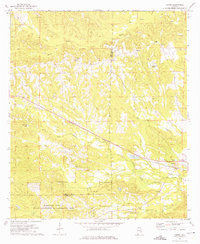
1973 · Comer
USGS Topo · 1:24,000
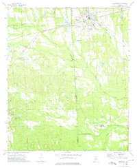
1973 · Hurtsboro
USGS Topo · 1:24,000
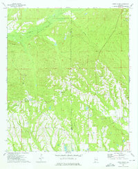
1973 · Creek Stand
USGS Topo · 1:24,000
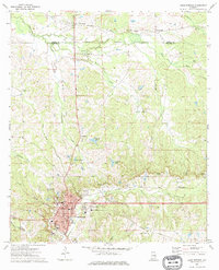
1973 · Union Springs
USGS Topo · 1:24,000
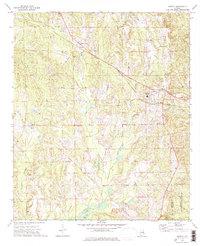
1973 · Midway
USGS Topo · 1:24,000
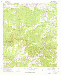
1973 · Roba
USGS Topo · 1:24,000
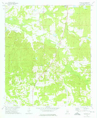
1973 · Davisville
USGS Topo · 1:24,000