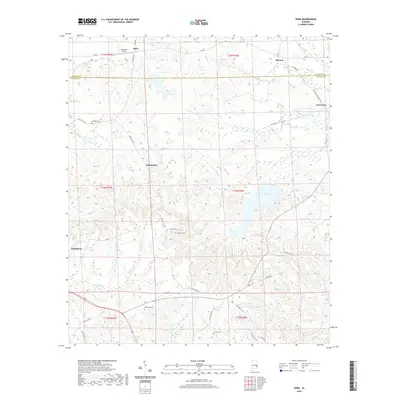
2020 Map of Roba
USGS Topo · Published 2020About this map
Peachburg and Roba anchor this detailed study of the borderlands between Macon and Bullock Counties, capturing the rural landscape of eastern Alabama. The area is defined by a dense network of creek systems including Calebee Cr, Old Town Cr, and the headwaters of the Pea River, which carve through the undulating terrain near Goat Hill. The map documents the persistent rural settlement patterns of the region, where small communities like Guerryton and Suspension are connected by a web of local routes such as Enon Rd and Saint Mark Church Rd. Genealogists and local historians will find significant value in the clearly marked family and community burial grounds, including Shepherd Cem, Jericho Cem, and Kendrick Cem. These landmarks, alongside features like Spratling Field and Sehoy Lake, offer a precise record of the land use and property divisions in this quiet corner of the state.
Find a feature on this map
54 named features on this map. Tap any name to fly to it.
Don’t see what you’re looking for? This feature index may not catch every label — zoom into the map to look around manually.
Map Details
Editions of this 2020 Roba Map
This is the sole edition of this map. No revisions or reprints were ever made.
Other maps of this area

1955 · Phenix City
USGS Topo · 1:250,000

1957 · Phenix City
USGS Topo · 1:250,000

1958 · Phenix City
USGS Topo · 1:250,000
1973 · Comer
USGS Topo · 1:24,000
1973 · Hurtsboro
USGS Topo · 1:24,000
1973 · Creek Stand
USGS Topo · 1:24,000
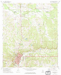
1973 · Union Springs
USGS Topo · 1:24,000
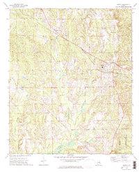
1973 · Midway
USGS Topo · 1:24,000
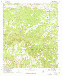
1973 · Roba
USGS Topo · 1:24,000
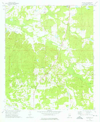
1973 · Davisville
USGS Topo · 1:24,000