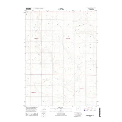
2015 Map of Roberson Creek
USGS Topo · Published 2015About this map
Roberson Cr and Dry Muddy Cr define the drainage patterns of this high-desert landscape in Lincoln County. The area is characterized by a sparse transportation network, with Wagon Wheel Rd skirting the northwestern corner of the quadrangle. This 2015 data reflects the modern township and range grid, showing the intersection of T20N R115W, T20N R114W, T19N R115W, and T19N R114W. This survey captures a terrain primarily shaped by seasonal water flow, where landmarks such as Roberson Spring indicate the critical points of hydration in an otherwise arid environment. The map provides a detailed topographic view of the basin as it appeared in the early 21st century, focusing on the natural water features and the established land division system.
Find a feature on this map
8 named features on this map. Tap any name to fly to it.
Don’t see what you’re looking for? This feature index may not catch every label — zoom into the map to look around manually.
Map Details
Editions of this 2015 Roberson Creek Map
This is the sole edition of this map. No revisions or reprints were ever made.
Other maps of this area

1954 · Ogden
USGS Topo · 1:250,000

1958 · Ogden
USGS Topo · 1:250,000

1960 · Ogden
USGS Topo · 1:250,000

1969 · Church Butte NW
USGS Topo · 1:24,000

1969 · Willow Springs
USGS Topo · 1:24,000

1969 · Roberson Creek
USGS Topo · 1:24,000

1969 · Hampton
USGS Topo · 1:24,000
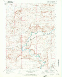
1969 · Church Butte
USGS Topo · 1:24,000
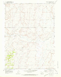
1969 · Mulkay Spring
USGS Topo · 1:24,000
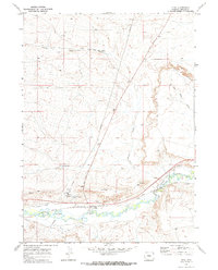
1969 · Opal
USGS Topo · 1:24,000