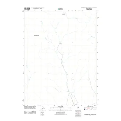
2012 Map of Roberts Creek Mountain
USGS Topo · Published 2012About this map
Roberts Creek Ranch sits at the southern edge of this high-elevation landscape, where the drainage of Roberts Creek flows from the north. The area is dominated by the massive landforms of Roberts Creek Mountain and the Roberts Mountains, which dictate the flow of several significant waterways including Vinini Creek and Henderson Creek. The presence of the Summer Camp settlement and the Roberts Creek Reservoir reflects a long history of water management and seasonal ranching operations in this part of Eureka County.
Find a feature on this map
11 named features on this map. Tap any name to fly to it.
Don’t see what you’re looking for? This feature index may not catch every label — zoom into the map to look around manually.
Map Details
Editions of this 2012 Roberts Creek Mountain Map
This is the sole edition of this map. No revisions or reprints were ever made.
Other maps of this area

1926 · Roberts Mountains
USGS Topo · 1:250,000

1929 · Roberts Mountains
USGS Topo · 1:250,000

1949 · Garden Valley
USGS Topo · 1:62,500

1949 · Roberts Creek Mtn
USGS Topo · 1:62,500

1951 · Roberts Creek Mtn
USGS Topo · 1:62,500

1951 · Garden Valley
USGS Topo · 1:62,500

1955 · Millett
USGS Topo · 1:250,000

1956 · Bartine Ranch
USGS Topo · 1:62,500

1956 · Whistler Mtn
USGS Topo · 1:62,500

1959 · Millett
USGS Topo · 1:250,000