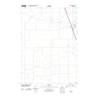
2010 Map of Roberts
USGS Topo · Published 2010About this map
The town of Roberts serves as the primary hub of this eastern Idaho landscape, situated where the interstate corridor meets a complex network of man-made and natural waterways. The area's agrarian character is defined by an intricate irrigation system, featuring the Butte Market Lake Canal and the Bell Larsen Canal, which divert water to the surrounding fields. These canals run alongside natural features like Taylor Slough and Roberts Slough, illustrating the intersection of natural hydrology and human engineering required to sustain the high desert plains.
Find a feature on this map
28 named features on this map. Tap any name to fly to it.
Don’t see what you’re looking for? This feature index may not catch every label — zoom into the map to look around manually.
Map Details
Editions of this 2010 Roberts Map
This is the sole edition of this map. No revisions or reprints were ever made.
Other maps of this area

1948 · Lewisville
USGS Topo · 1:24,000

1948 · Idaho Falls North
USGS Topo · 1:24,000

1949 · Idaho Falls North
USGS Topo · 1:24,000

1949 · Lewisville
USGS Topo · 1:24,000

1949 · Roberts
USGS Topo · 1:62,500

1949 · Roberts
USGS Topo · 1:24,000

1949 · Shattuck Butte
USGS Topo · 1:24,000

1950 · Shattuck Butte
USGS Topo · 1:24,000

1950 · Roberts
USGS Topo · 1:24,000

1955 · Idaho Falls
USGS Topo · 1:250,000