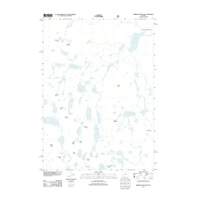
2012 Map of Roberts Mountain
USGS Topo · Published 2012About this map
Roberts Mountain stands as a central anchor in this high-altitude landscape within the Wind River Roadless Area. The 2012 survey illustrates an intricate alpine drainage system where the N Fork Little Wind River is fed by numerous high-elevation basins, including Lake Heebecheeche, Lake Solitude, and the Bonneville Lakes. The terrain is defined by a series of prominent summits such as Mount Lander, Petroleum Peak, and Musembeah Peak, which create a complex network of ridgelines and glacial cirques.
Find a feature on this map
46 named features on this map. Tap any name to fly to it.
Don’t see what you’re looking for? This feature index may not catch every label — zoom into the map to look around manually.
Map Details
Editions of this 2012 Roberts Mountain Map
This is the sole edition of this map. No revisions or reprints were ever made.
Other maps of this area

1937 · Moccasin Lake
USGS Topo · 1:48,000

1938 · Mt Bonneville
USGS Topo · 1:62,500

1941 · Mt Bonneville
USGS Topo · 1:62,500

1942 · Mt Bonneville
USGS Topo · 1:62,500

1943 · Moccasin Lake
USGS Topo · 1:62,500

1952 · Paradise Basin
USGS Topo · 1:24,000

1952 · St. Lawrence Basin
USGS Topo · 1:24,000

1952 · Alpine Lake
USGS Topo · 1:24,000

1955 · Thermopolis
USGS Topo · 1:250,000

1955 · Lander
USGS Topo · 1:250,000