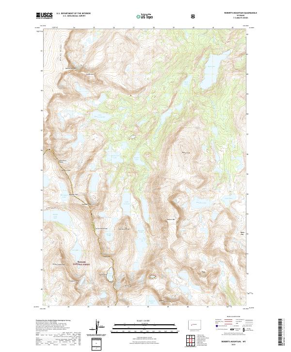
2021 Map of Roberts Mountain
USGS Topo · Published 2021About this map
The Continental Divide serves as the literal spine of this High Rockies landscape, tracing the border between Fremont and Sublette counties within the Bridger National Forest. This high-altitude terrain is characterized by a dense network of glacial lakes and prominent peaks that form part of the Wind River Range. From the northern reaches near Wolverine Peak to the southern cluster of waters including Baptiste Lake and Shelia Lake, the map documents a landscape where traditional roads are absent, replaced by specialized routes like the Middle Fork Lake Trl.
Find a feature on this map
53 named features on this map. Tap any name to fly to it.
Don’t see what you’re looking for? This feature index may not catch every label — zoom into the map to look around manually.
Map Details
Editions of this 2021 Roberts Mountain Map
This is the sole edition of this map. No revisions or reprints were ever made.
Other maps of this area

1937 · Moccasin Lake
USGS Topo · 1:48,000

1938 · Mt Bonneville
USGS Topo · 1:62,500

1941 · Mt Bonneville
USGS Topo · 1:62,500

1942 · Mt Bonneville
USGS Topo · 1:62,500

1943 · Moccasin Lake
USGS Topo · 1:62,500

1952 · Paradise Basin
USGS Topo · 1:24,000

1952 · St. Lawrence Basin
USGS Topo · 1:24,000

1952 · Alpine Lake
USGS Topo · 1:24,000

1955 · Thermopolis
USGS Topo · 1:250,000

1955 · Lander
USGS Topo · 1:250,000