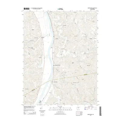
2014 Map of Robertsburg
USGS Topo · Published 2014About this map
The Kanawha River carves through this West Virginia landscape, serving as a corridor for settlements like Robertsburg, Grimms Landing, and Southside. Small riverfront communities and inland hamlets such as Arbuckle and Waterloo are connected by a network of winding roads like Arbuckle Creek Rd and Smith Church Rd, reflecting the area's rural development. The terrain is defined by prominent ridges including Buffalo Ridge and Manila Ridge, with numerous hollows and creeks draining into the river valley.
Find a feature on this map
81 named features on this map. Tap any name to fly to it.
Don’t see what you’re looking for? This feature index may not catch every label — zoom into the map to look around manually.
Map Details
Editions of this 2014 Robertsburg Map
This is the sole edition of this map. No revisions or reprints were ever made.
Other maps of this area

1906 · Glenwood
USGS Topo · 1:62,500

1906 · Winfield
USGS Topo · 1:62,500

1908 · Glenwood
USGS Topo · 1:62,500

1908 · Winfield
USGS Topo · 1:62,500

1908 · Ravenswood
USGS Topo · 1:62,500

1908 · Point Pleasant
USGS Topo · 1:62,500

1926 · Ravenswood
USGS Topo · 1:62,500

1926 · Point Pleasant
USGS Topo · 1:62,500

1928 · Ravenswood
USGS Topo · 1:62,500

1929 · Point Pleasant
USGS Topo · 1:62,500