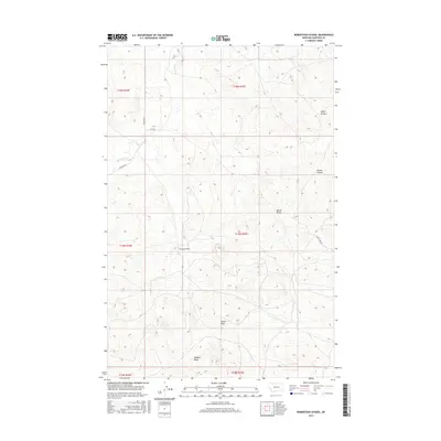
2017 Map of Robertson School
USGS Topo · Published 2017About this map
Robertson School serves as a lone institutional landmark in this expansive corner of Garfield County, Montana. The landscape is defined by the drainage patterns of Big Dry Cr and several distinct coulees, including Smiley Coulee and Lynch Coulee. In a region where open range and topographic prominence dictate the layout of the land, two uniquely named high points, Hawks Nest and Robbers Roost, stand out against the surrounding terrain. These features suggest a history of surveillance and shelter in the high plains. Navigation through this rural area is facilitated by a sparse network of roads such as Ingomar Rd and Fitch Rd, which follow the contours of the dry draws and ridgelines. The map provides a look at the modern rural infrastructure, where water sources like Alkali Draw are critical markers in an otherwise arid environment.
Find a feature on this map
16 named features on this map. Tap any name to fly to it.
Don’t see what you’re looking for? This feature index may not catch every label — zoom into the map to look around manually.
Map Details
Editions of this 2017 Robertson School Map
This is the sole edition of this map. No revisions or reprints were ever made.
Other maps of this area

1954 · Jordan
USGS Topo · 1:250,000

1954 · Forsyth
USGS Topo · 1:250,000

1956 · Jordan
USGS Topo · 1:250,000

1957 · Forsyth
USGS Topo · 1:250,000

1958 · Jordan
USGS Topo · 1:250,000

1958 · Forsyth
USGS Topo · 1:250,000

1964 · Jordan
USGS Topo · 1:250,000

1965 · Robertson School
USGS Topo · 1:24,000

1965 · Big Dry School
USGS Topo · 1:24,000

1965 · Edwards
USGS Topo · 1:24,000