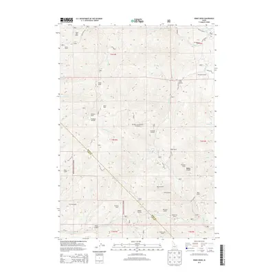
2013 Map of Robie Creek
USGS Topo · Published 2013About this map
Boise National Forest dominates this mountainous portion of Ada Co and Boise Co during the early 2010s, showing a landscape defined by significant elevation changes and high-altitude summits. Boise Peak and Boise Ridge stand as prominent landmarks, while numerous summits such as Eagleson Summit, Crooked Summit, and Aldape Summit punctuate the ridgelines. The settlement of Robie Creek sits in the valley below, connected by a network of forest and mountain roads like Robie Creek Rd and 8th St Rd.
Find a feature on this map
56 named features on this map. Tap any name to fly to it.
Don’t see what you’re looking for? This feature index may not catch every label — zoom into the map to look around manually.
Map Details
Editions of this 2013 Robie Creek Map
This is the sole edition of this map. No revisions or reprints were ever made.
Other maps of this area

1892 · Boise
USGS Topo · 1:125,000

1894 · Idaho Basin
USGS Topo · 1:125,000

1897 · Boise
USGS Topo · 1:125,000

1949 · Robie Creek
USGS Topo · 1:24,000

1954 · Boise South
USGS Topo · 1:24,000

1954 · Boise North
USGS Topo · 1:24,000

1954 · Boise
USGS Topo · 1:62,500

1955 · Hailey
USGS Topo · 1:250,000

1955 · Boise
USGS Topo · 1:250,000

1957 · Cartwright Canyon
USGS Topo · 1:24,000