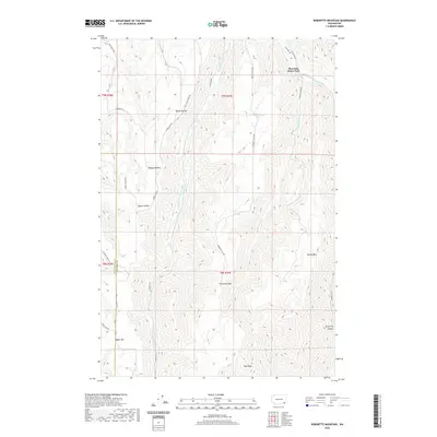
2020 Map of Robinette Mountain
USGS Topo · Published 2020About this map
The South Fork Touchet River winds through the heart of this landscape along the Walla Walla and Columbia County line. This 2020 edition provides a look at the deeply dissected topography of the region, where numerous named hollows and ridges define the drainage patterns. Key elevations include Robinette Mtn, Jasper Mtn, and Newby Mtn, which overlook a network of tributary streams including Robinson Fork and the Wolf Fork.
Find a feature on this map
29 named features on this map. Tap any name to fly to it.
Don’t see what you’re looking for? This feature index may not catch every label — zoom into the map to look around manually.
Map Details
Editions of this 2020 Robinette Mountain Map
This is the sole edition of this map. No revisions or reprints were ever made.
Other maps of this area

1919 · Walla Walla
USGS Topo · 1:125,000

1921 · Walla Walla
USGS Topo · 1:125,000

1937 · Pomeroy
USGS Topo · 1:96,000

1942 · Pomeroy
USGS Topo · 1:125,000

1953 · Walla Walla
USGS Topo · 1:250,000

1955 · Pullman
USGS Topo · 1:250,000

1958 · Pullman
USGS Topo · 1:250,000

1958 · Walla Walla
USGS Topo · 1:250,000
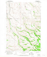
1966 · Coppei
USGS Topo · 1:24,000
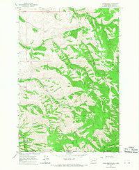
1966 · Kooskooskie
USGS Topo · 1:24,000