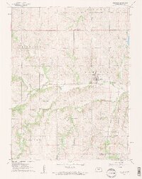
1961 Map of Robinson
USGS Topo · Published 1962About this map
Robinson serves as the central hub of this agricultural landscape in Brown County, where the Union Pacific railroad tracks bisect the town as they follow the natural corridor of the North Fork Wolf River. This 1961 field-checked survey reveals a rural community supported by a dense network of country schools and churches, including the Upper Wolf Ch to the south and Prairie Springs Sch to the north. The drainage patterns of the Middle Fork Wolf Creek and Buttermilk Creek define the township boundaries of Hiawatha, Robinson, Mission, and Washington. Local history is preserved in sites like Rose Hill Cem and the Ununda Cem, while the northeastern corner shows the early footprint of Brown County State Park.
Find a feature on this map
22 named features on this map. Tap any name to fly to it.
Don’t see what you’re looking for? This feature index may not catch every label — zoom into the map to look around manually.
Map Details
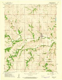
Editions of this 1961 Robinson Map
2 editions found
Other maps of this area

1885 · Atchison
USGS Topo · 1:125,000

1888 · Atchison
USGS Topo · 1:125,000

1888 · Hiawatha
USGS Topo · 1:125,000

1893 · Atchison
USGS Topo · 1:125,000

1894 · Hiawatha
USGS Topo · 1:125,000

1950 · Kansas City
USGS Topo · 1:250,000

1954 · Kansas City
USGS Topo · 1:250,000

1956 · Kansas City
USGS Topo · 1:250,000
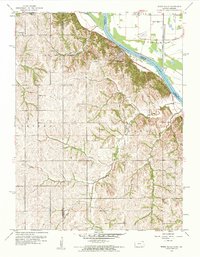
1959 · White Cloud
USGS Topo · 1:24,000
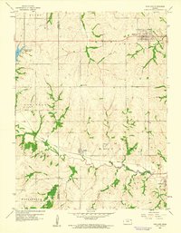
1959 · Highland
USGS Topo · 1:24,000