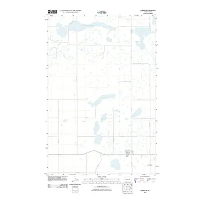
2011 Map of Robinson
USGS Topo · Published 2011About this map
Robinson serves as the primary hub of this prairie landscape in North Dakota, centered around the intersection of Railroad Ave and West St. The town's grid reflects its development alongside transportation corridors, while the surrounding countryside is defined by numerous small depressions and basins common to the Northern Plains. Notable among these is the sprawling Long Alakline Lake to the north, which dominates the local hydrology. Just southeast of the town center, the James Whitman Landing Strip indicates the continued importance of aviation in rural transport and utility. The map details a strictly regulated section-line road network, including 1st Ave and various rural routes like 31st Ave SE and 18th St SE, which partition the landscape into a clear agricultural pattern.
Find a feature on this map
20 named features on this map. Tap any name to fly to it.
Don’t see what you’re looking for? This feature index may not catch every label — zoom into the map to look around manually.
Map Details
Editions of this 2011 Robinson Map
This is the sole edition of this map. No revisions or reprints were ever made.
Other maps of this area

1952 · New Rockford
USGS Topo · 1:250,000

1956 · New Rockford
USGS Topo · 1:250,000

1971 · New Rockford
USGS Topo · 1:250,000

1972 · Tuttle
USGS Topo · 1:24,000

1972 · Kunkel Lake
USGS Topo · 1:24,000
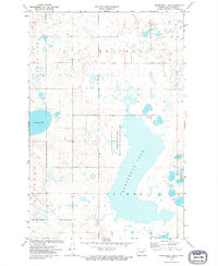
1972 · Horsehead Lake
USGS Topo · 1:24,000

1972 · Robinson
USGS Topo · 1:24,000
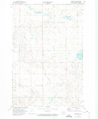
1972 · Tuttle SW
USGS Topo · 1:24,000

1972 · Des Moines Lake
USGS Topo · 1:24,000

1978 · Wagon Wheel Hill
USGS Topo · 1:24,000