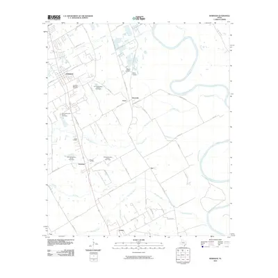
2010 Map of Robinson
USGS Topo · Published 2010About this map
Robinson and its neighboring rural communities are defined by the winding course of the Brazos River and the complex drainage of Castleman Creek and Bull Hide Creek. In this early 21st-century landscape south of Waco, a pattern of small agricultural settlements like Downsville, Rosenthal, and Golinda persists alongside growing residential development. The map reveals an area where water management is critical, as evidenced by several infrastructure projects such as Soil Conservation Service Site 6 Dam and Soil Conservation Service Site 4 Dam. For local historians and genealogists, the map preserves the locations of several community burial grounds, including the Saint Pauls Memorial Cemetery and the Mount Olive Cemetery, which serve as quiet markers of the region's long-established family roots and rural church history.
Find a feature on this map
64 named features on this map. Tap any name to fly to it.
Don’t see what you’re looking for? This feature index may not catch every label — zoom into the map to look around manually.
Map Details
Editions of this 2010 Robinson Map
This is the sole edition of this map. No revisions or reprints were ever made.
Other maps of this area

1892 · Temple
USGS Topo · 1:125,000

1892 · Waco
USGS Topo · 1:125,000

1920 · Waco
USGS Topo · 1:125,000

1920 · Mart
USGS Topo · 1:62,500

1924 · Waco 4-c
USGS Topo · 1:48,000

1931 · Elm Mott
USGS Topo · 1:62,500

1954 · Waco
USGS Topo · 1:250,000

1955 · Waco
USGS Topo · 1:250,000

1957 · Bruceville
USGS Topo · 1:24,000

1957 · Lorena
USGS Topo · 1:24,000