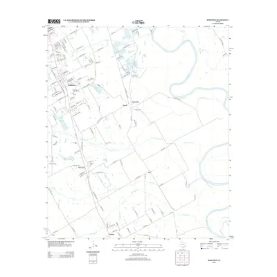
2012 Map of Robinson
USGS Topo · Published 2012About this map
The Brazos River winds through the eastern edge of this landscape, its path mirrored by a network of drainage systems including Castleman Cr, Dry Cr, and Bull Hide Cr. This McLennan County region centers on the growing community of Robinson, surrounded by smaller historical clusters such as Downsville, Rosenthal, and Golinda. The density of burial grounds in this area—ranging from the Saint Pauls Memorial Cem to the Fletcher Cem and Mt Pleasant Cem—provides a significant resource for those tracing local lineages.
Find a feature on this map
126 named features on this map. Tap any name to fly to it.
Don’t see what you’re looking for? This feature index may not catch every label — zoom into the map to look around manually.
Map Details
Editions of this 2012 Robinson Map
This is the sole edition of this map. No revisions or reprints were ever made.
Other maps of this area

1892 · Temple
USGS Topo · 1:125,000

1892 · Waco
USGS Topo · 1:125,000

1920 · Waco
USGS Topo · 1:125,000

1920 · Mart
USGS Topo · 1:62,500

1924 · Waco 4-c
USGS Topo · 1:48,000

1931 · Elm Mott
USGS Topo · 1:62,500

1954 · Waco
USGS Topo · 1:250,000

1955 · Waco
USGS Topo · 1:250,000

1957 · Bruceville
USGS Topo · 1:24,000

1957 · Lorena
USGS Topo · 1:24,000