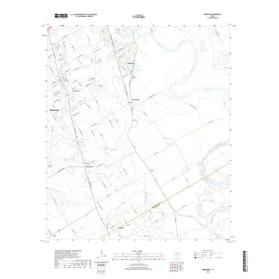
2019 Map of Robinson
USGS Topo · Published 2019About this map
The Brazos River meanders through the eastern portion of this landscape, defining the transition from the expanding outskirts of Waco and Robinson into the productive agricultural plains of central Texas. This 2019 survey documents a network of smaller communities including Downsville, Rosenthal, and Golinda, which maintain their identity even as suburban development from the north approaches. The map provides significant detail for local historians, marking the boundary between McLennan and Falls Counties and identifying numerous burial grounds such as Mount Olive Cem and Christian Cem.
Find a feature on this map
106 named features on this map. Tap any name to fly to it.
Don’t see what you’re looking for? This feature index may not catch every label — zoom into the map to look around manually.
Map Details
Editions of this 2019 Robinson Map
This is the sole edition of this map. No revisions or reprints were ever made.
Other maps of this area

1892 · Temple
USGS Topo · 1:125,000

1892 · Waco
USGS Topo · 1:125,000

1920 · Waco
USGS Topo · 1:125,000

1920 · Mart
USGS Topo · 1:62,500

1924 · Waco 4-c
USGS Topo · 1:48,000

1931 · Elm Mott
USGS Topo · 1:62,500

1954 · Waco
USGS Topo · 1:250,000

1955 · Waco
USGS Topo · 1:250,000

1957 · Bruceville
USGS Topo · 1:24,000

1957 · Lorena
USGS Topo · 1:24,000