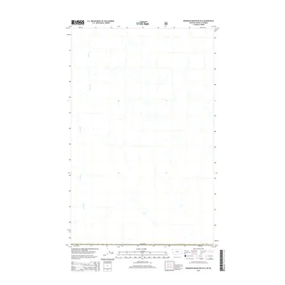
2014 Map of Robinson Mountain OE N
USGS Topo · Published 2014About this map
The international border with Canada defines the southern edge of this map, which focuses on the drainage basin of Bloom Cr. Located in the region of Area B (Lake Koocanusa) within British Columbia, the terrain is characterized by a dense network of watercourses feeding into the primary creek as it flows northward. This 2014 survey, compiled using data from the U.S. Geological Survey and the U.S. Forest Service, provides a clear view of the hydrological patterns and forest service road networks just north of the Montana border. The absence of named settlements or major infrastructure highlights the wilderness character of the Bloom Cr drainage, making it an essential reference for understanding the remote borderlands between the United States and Canada.
Find a feature on this map
2 named features on this map. Tap any name to fly to it.
Don’t see what you’re looking for? This feature index may not catch every label — zoom into the map to look around manually.
Map Details
Editions of this 2014 Robinson Mountain OE N Map
This is the sole edition of this map. No revisions or reprints were ever made.
Other maps of this area

1957 · Kalispell
USGS Topo · 1:250,000

1960 · Kalispell
USGS Topo · 1:250,000

1961 · Kalispell
USGS Topo · 1:250,000

1963 · Robinson Mountain
USGS Topo · 1:24,000

1963 · Red Mountain
USGS Topo · 1:24,000

1963 · Mount Henry
USGS Topo · 1:24,000

1979 · Yaak River
USGS Topo · 1:100,000
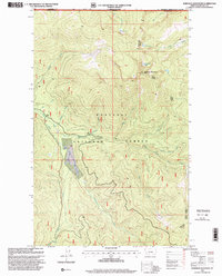
1997 · Robinson Mountain
USGS Topo · 1:24,000
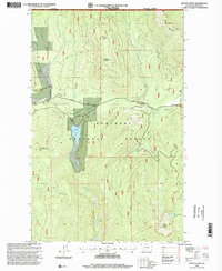
1997 · Mount Henry
USGS Topo · 1:24,000
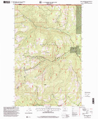
1997 · Red Mountain
USGS Topo · 1:24,000