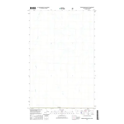
2017 Map of Robinson Mountain OE N
USGS Topo · Published 2017About this map
Bloom Cr winds through this northern borderlands landscape, serving as the primary drainage feature in a region defined by its proximity to the international boundary. Surveyed in the early 21st century, the map provides a precise view of the topography where Montana meets Canada. The hydrology of the area is dominated by the several branches of the creek, which carve through the terrain as they flow toward the south. While the map is sparse in terms of human settlements or named structures, it meticulously documents the transition of the natural drainage network across the 49th parallel, making it a critical reference for understanding the physical geography of this specific cross-border corridor.
Find a feature on this map
2 named features on this map. Tap any name to fly to it.
Don’t see what you’re looking for? This feature index may not catch every label — zoom into the map to look around manually.
Map Details
Editions of this 2017 Robinson Mountain OE N Map
This is the sole edition of this map. No revisions or reprints were ever made.
Other maps of this area

1957 · Kalispell
USGS Topo · 1:250,000

1960 · Kalispell
USGS Topo · 1:250,000

1961 · Kalispell
USGS Topo · 1:250,000

1963 · Robinson Mountain
USGS Topo · 1:24,000

1963 · Red Mountain
USGS Topo · 1:24,000

1963 · Mount Henry
USGS Topo · 1:24,000

1979 · Yaak River
USGS Topo · 1:100,000
1997 · Robinson Mountain
USGS Topo · 1:24,000
1997 · Mount Henry
USGS Topo · 1:24,000
1997 · Red Mountain
USGS Topo · 1:24,000