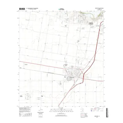
2016 Map of Robstown
USGS Topo · Published 2016About this map
Robstown serves as a major agricultural and transportation hub on the Coastal Bend, defined by a grid of rural roads and aviation activity. This 2016 survey captures the city's relationship with the Nueces River, which forms the northern boundary against San Patricio County. The landscape is a mix of dense residential neighborhoods like North San Pedro and Spring Gardens, alongside facilities like the Nueces County Airport. The presence of Fort McIntosh near the Five Points area suggests a layer of regional history tucked among modern subdivisions. Beyond the city center, small communities such as Rabb and Tierra Verde are situated amidst an expansive network of county roads, while the outskirts of Corpus Christi and Calallen press in from the northeast.
Find a feature on this map
129 named features on this map. Tap any name to fly to it.
Don’t see what you’re looking for? This feature index may not catch every label — zoom into the map to look around manually.
Map Details
Editions of this 2016 Robstown Map
This is the sole edition of this map. No revisions or reprints were ever made.
Other maps of this area

1924 · Petronilla
USGS Topo · 1:62,500

1925 · Robstown
USGS Topo · 1:62,500

1950 · Corpus Christi
USGS Topo · 1:250,000

1954 · Orange Grove
USGS Topo · 1:62,500

1954 · Robstown
USGS Topo · 1:62,500

1954 · Kingsville
USGS Topo · 1:62,500

1954 · Petronila
USGS Topo · 1:62,500

1956 · Corpus Christi
USGS Topo · 1:250,000

1960 · Corpus Christi
USGS Topo · 1:250,000

1966 · Corpus Christi
USGS Topo · 1:250,000