
1926 Map of Roby 2-b
USGS Topo · Published 1926About this map
The confluence of the Mountain Fork Brazos River and the Double Mountain Fork Brazos River anchors this 1926 topographic study of the West Texas borderlands. Surveyed by T.F. Murphy for the State Board of Water Engineers, the map illustrates a landscape shaped by drainage patterns like White Canyon and Gyp Creek. The rural social fabric of the era is evident in the placement of the Wright School, Dorcas School, and Dowell School, which served the scattered families of the Stonewall and Fisher County line. The Dowell Cemetery and Dowell Church provide critical anchor points for genealogists researching the early 20th-century settlers along the bends of the Brazos, such as Bullock Bend.
Find a feature on this map
15 named features on this map. Tap any name to fly to it.
Don’t see what you’re looking for? This feature index may not catch every label — zoom into the map to look around manually.
Map Details
Editions of this 1926 Roby 2-b Map
This is the sole edition of this map. No revisions or reprints were ever made.
Other maps of this area

1893 · Roby
USGS Topo · 1:125,000

1926 · Snyder 1-a
USGS Topo · 1:48,000

1931 · Rotan
USGS Topo · 1:62,500

1932 · Camp Springs
USGS Topo · 1:62,500

1954 · Lubbock
USGS Topo · 1:250,000

1954 · Big Spring
USGS Topo · 1:250,000

1958 · Big Spring
USGS Topo · 1:250,000

1968 · Double Mountains
USGS Topo · 1:24,000
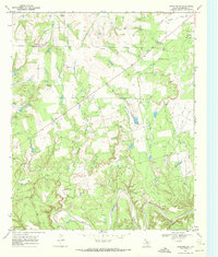
1968 · Coon Hollow
USGS Topo · 1:24,000
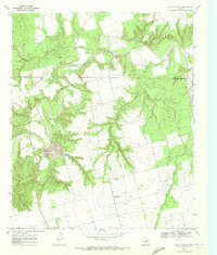
1969 · White Canyon
USGS Topo · 1:24,000