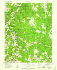
1954 Map of Roby
USGS Topo · Published 1959About this map
Roubidoux Creek and its many tributaries, including Little Roubidoux Creek and Salt Ridge Creek, define the topography of this portion of the Ozarks during the mid-1950s. The landscape is a mix of public and military lands, with the northern section occupied by the Fort Leonard Wood Military Reservation and the central area covered by the Mark Twain National Forest. Local communities are sparsely distributed, featuring the small settlements of Roby, Evening Shade, and Old Evening Shade. A notable pattern of consolidation is evident in the school system, where several rural education centers such as Cedar Bluff School, Pine Hollow School, and Blackjack School are already marked as abandoned, reflecting the post-war shift toward larger district schools. Key landmarks include the Roby Lookout Tower and the Macedonia Cemetery, providing important reference points for genealogists tracing families from Palace or the surrounding hollows.
Find a feature on this map
24 named features on this map. Tap any name to fly to it.
Don’t see what you’re looking for? This feature index may not catch every label — zoom into the map to look around manually.
Map Details
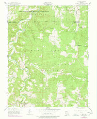
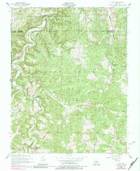
Editions of this 1954 Roby Map
3 editions found
Other maps of this area

1931 · Manes
USGS Topo · 1:48,000

1941 · Big Piney
USGS Topo · 1:62,500

1941 · Manes
USGS Topo · 1:62,500

1941 · Bado
USGS Topo · 1:62,500

1943 · Big Piney
USGS Topo · 1:62,500

1943 · Manes
USGS Topo · 1:62,500

1943 · Drynob
USGS Topo · 1:62,500

1943 · Bado
USGS Topo · 1:62,500

1954 · Springfield
USGS Topo · 1:250,000

1954 · Drynob
USGS Topo · 1:62,500