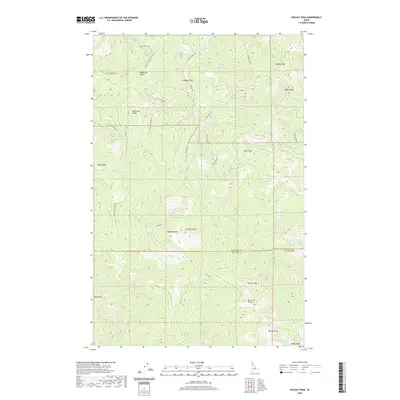
2020 Map of Rochat Peak
USGS Topo · Published 2020About this map
Rochat Peak and the surrounding high country of the Saint Joe Divide dominate this portion of the Idaho panhandle along the Kootenai Co Benewah Co line. This landscape is defined by a dense network of forest service routes and drainage systems, including Latour Cr and Larch Cr, which carve through the steep timberland. The topography is anchored by a series of named summits such as Eagle Peak, Boise Peak, and Kootenai Peak, reflecting the remote and vertical nature of the terrain.
Find a feature on this map
38 named features on this map. Tap any name to fly to it.
Don’t see what you’re looking for? This feature index may not catch every label — zoom into the map to look around manually.
Map Details
Editions of this 2020 Rochat Peak Map
This is the sole edition of this map. No revisions or reprints were ever made.
Other maps of this area

1903 · Rathdrum
USGS Topo · 1:125,000

1909 · Cataldo
USGS Topo · 1:125,000

1911 · Cataldo
USGS Topo · 1:125,000

1950 · Rochat Peak
USGS Topo · 1:24,000

1950 · Twin Crags
USGS Topo · 1:24,000

1952 · Rochat Peak
USGS Topo · 1:24,000

1952 · Twin Crags
USGS Topo · 1:24,000

1955 · Spokane
USGS Topo · 1:250,000

1957 · St. Maries
USGS Topo · 1:62,500

1957 · Kingston
USGS Topo · 1:62,500