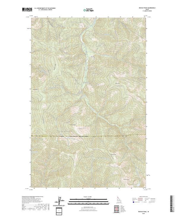
2024 Map of Rochat Peak
USGS Topo · Published 2024About this map
The St Joe Mountains dominate this high-elevation landscape along the border of Kootenai and Benewah counties. Centered on Rochat Peak, the terrain is defined by the massive Saint Joe Divide and several prominent summits including Eagle Peak, Kootenai Peak, and Boise Peak. This 2024 survey documents a complex network of forest access routes such as Rochat Rd, S Latour Creek Rd, and Boise Creek Rd, which provide passage through the steep drainages of Latour Creek and Butler Creek. In the southeastern corner, the elevation drops toward Crystal Lake near Pearson Peak. The mapping reflects a rugged wilderness character, with very few signs of permanent habitation beyond the infrastructure required for forestry and land management across the ridges of Blackrock Ridge.
Find a feature on this map
37 named features on this map. Tap any name to fly to it.
Don’t see what you’re looking for? This feature index may not catch every label — zoom into the map to look around manually.
Map Details
Editions of this 2024 Rochat Peak Map
This is the sole edition of this map. No revisions or reprints were ever made.
Other maps of this area

1903 · Rathdrum
USGS Topo · 1:125,000

1909 · Cataldo
USGS Topo · 1:125,000

1911 · Cataldo
USGS Topo · 1:125,000

1950 · Rochat Peak
USGS Topo · 1:24,000

1950 · Twin Crags
USGS Topo · 1:24,000

1952 · Rochat Peak
USGS Topo · 1:24,000

1952 · Twin Crags
USGS Topo · 1:24,000

1955 · Spokane
USGS Topo · 1:250,000

1957 · St. Maries
USGS Topo · 1:62,500

1957 · Kingston
USGS Topo · 1:62,500