2022 Map of Roche A Cri
USGS Topo · Published 2022About this map
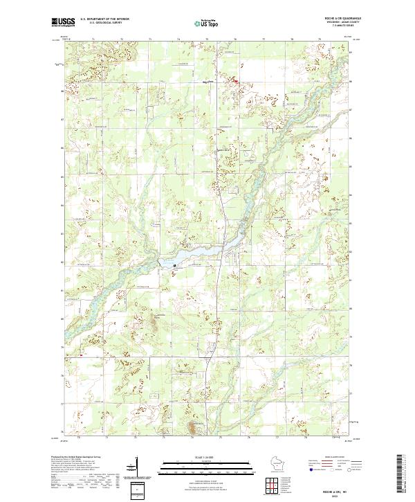
Big Roche a Cri Creek and its tributaries carve a network through this section of Adams County, defined by a series of prominent geologic outcrops. Named formations like Rabbit Rock, Minnie Rock, and the Cottonville Rocks rise above the surrounding terrain, serving as long-standing local landmarks. The settlement pattern here is characterized by a grid of residential avenues and drives, particularly around the central Big Roche a Cri Lake, where local infrastructure clusters near the Cottonville Cem.
Find a feature on this map
36 named features on this map. Tap any name to fly to it.
Don’t see what you’re looking for? This feature index may not catch every label — zoom into the map to look around manually.
Map Details
Editions of this 2022 Roche A Cri Map
This is the sole edition of this map. No revisions or reprints were ever made.
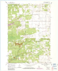
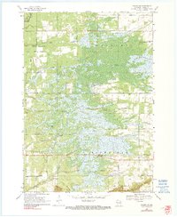
Historical Maps of Strongs Prairie Through Time
14 maps found
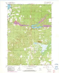
1967 Arkdale NE
Adams County, WI

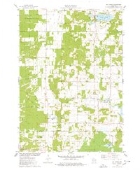
1967 Roche A Cri
Adams County, WI
1968 Coloma NW
Adams County, WI
1968 Coloma SW
Adams County, WI
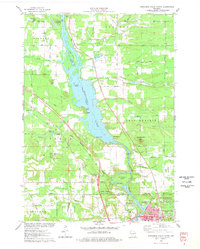
1975 Big Spring
Adams County, WI
1975 Wisconsin Dells North
Adams County, WI
1979 Brooks
Adams County, WI
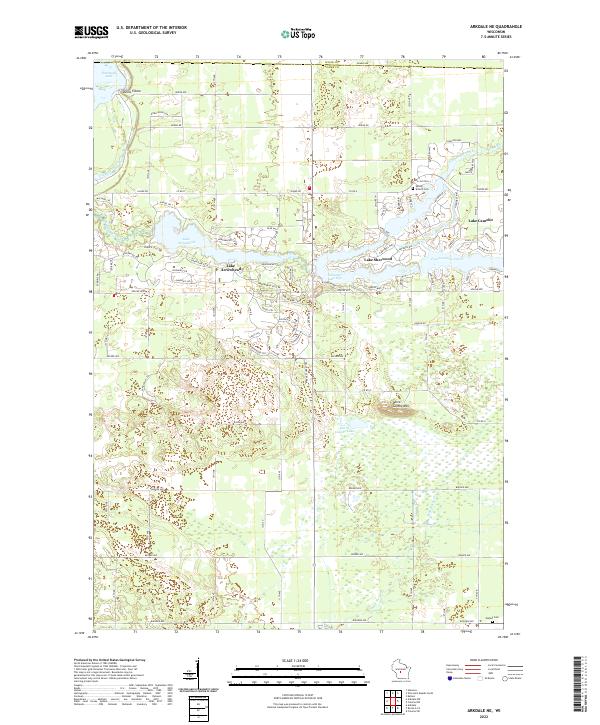
2022 Arkdale NE
Adams County, WI
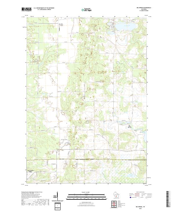
2022 Big Spring
Adams County, WI
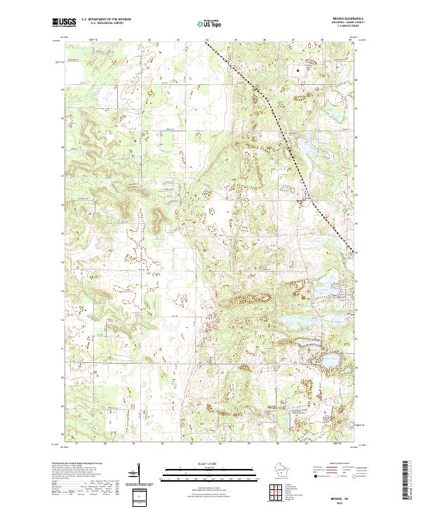
2022 Brooks
Adams County, WI
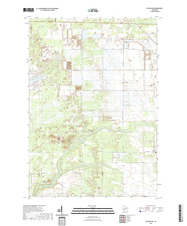
2022 Coloma NW
Adams County, WI
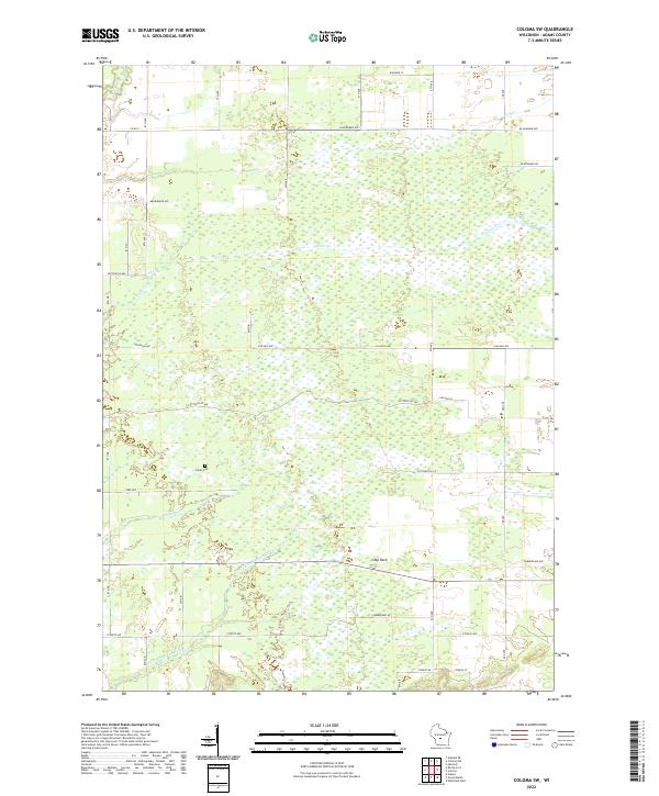
2022 Coloma SW
Adams County, WI
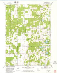
2022 Roche A Cri
Adams County, WI
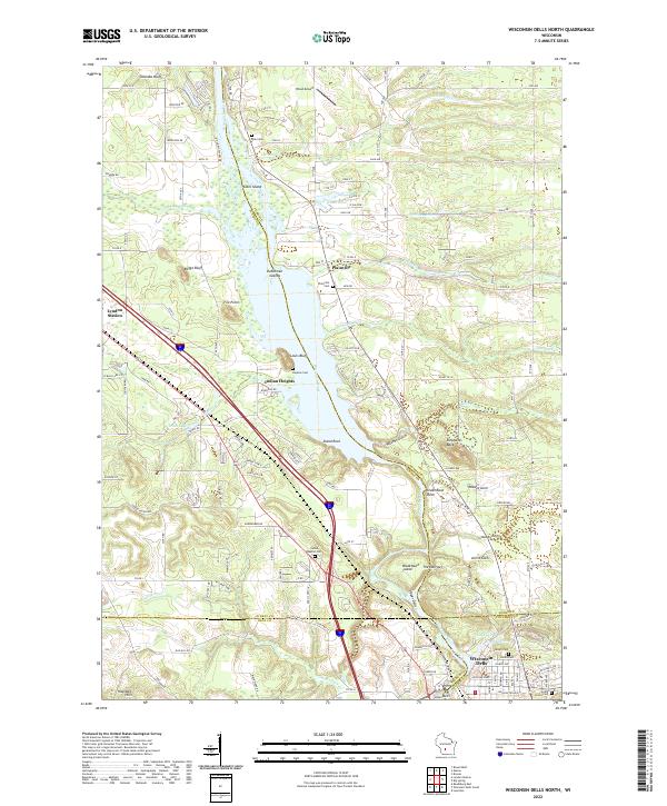
2022 Wisconsin Dells North
Adams County, WI