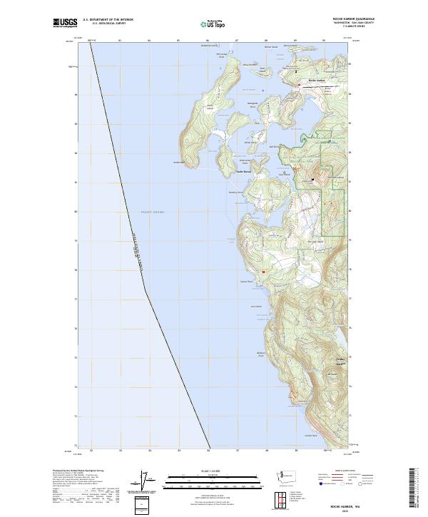
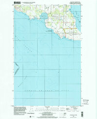
2023 Map of Roche Harbor
USGS Topo · Published 2023About this map
Roche Harbor and its surrounding archipelago define the northern reaches of San Juan Island, where the maritime boundary between the United States and Canada cuts through the Puget Sound. This modern coastal study reveals a landscape shaped by both military history and resort development, centered on protected waters like Garrison Bay and Westcott Bay. Local heritage is anchored by significant sites such as the Afterglow Vista Mausoleum and Cem and the English Camp Cem, the latter situated within the San Juan Island National Historical Park. The map details a complex shoreline of points and bluffs, including Kellett Bluff on Henry Island and McCracken Point, while inland, the terrain rises toward Mount Dallas. From the Roche Harbor Airport to the quiet waters of Smugglers Cove, the map documents the modern infrastructure of this iconic Pacific Northwest destination.
Find a feature on this map
98 named features on this map. Tap any name to fly to it.
Don’t see what you’re looking for? This feature index may not catch every label — zoom into the map to look around manually.
Map Details
Editions of this 2023 Roche Harbor Map
This is the sole edition of this map. No revisions or reprints were ever made.
Other maps of this area

1953 · Stuart Island
USGS Topo · 1:24,000

1954 · Roche Harbor
USGS Topo · 1:24,000

1954 · Waldron Island
USGS Topo · 1:24,000

1954 · Friday Harbor
USGS Topo · 1:24,000

1954 · False Bay
USGS Topo · 1:24,000

1957 · Victoria
USGS Topo · 1:250,000
1979 · Port Angeles
USGS Topo · 1:100,000
1981 · Roche Harbor
USGS Topo · 1:100,000
1997 · Waldron Island
USGS Topo · 1:24,000
1998 · False Bay
USGS Topo · 1:24,000