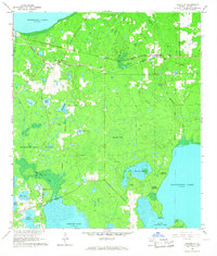
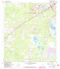
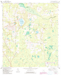
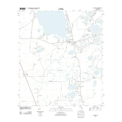
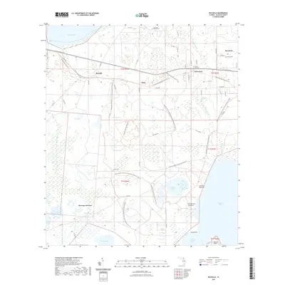
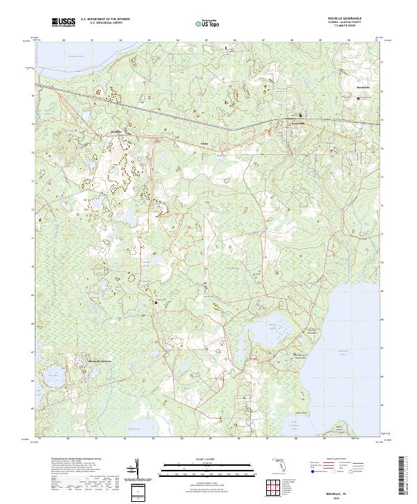
1966 Map of Rochelle
USGS Topo · Published 1967About this map
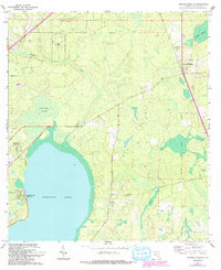
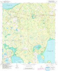
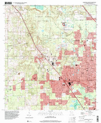
The Seaboard Coast Line railroad dictates the settlement patterns of this Alachua County landscape, connecting the small communities of Rochelle and Grove Park. The terrain is defined by a dense network of hammocks, prairies, and lakes, notably Orange Lake and Lochloosa Lake. Evidence of Spanish land grants remains visible in the large diagonal boundaries of the Moses E Levy Grant and Arredondo Grant, which contrast with the standard rectangular survey grid used elsewhere.
Find a feature on this map
40 named features on this map. Tap any name to fly to it.
Don’t see what you’re looking for? This feature index may not catch every label — zoom into the map to look around manually.
Map Details
Editions of this 1966 Rochelle Map
3 editions found
Historical Maps of Phifer Through Time
49 maps found
1890 Arredondo
Alachua County, FL

1892 Arredondo
Alachua County, FL
1894 Arredondo
Alachua County, FL

1938 Hawthorn
Alachua County, FL

1943 Hawthorn
Alachua County, FL
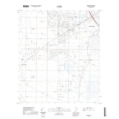
1966 Arredondo
Alachua County, FL
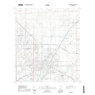
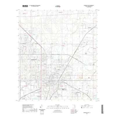
1966 Gainesville East
Alachua County, FL
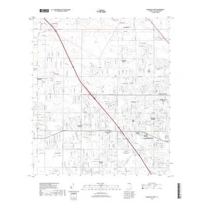
1966 Gainesville West
Alachua County, FL
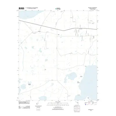
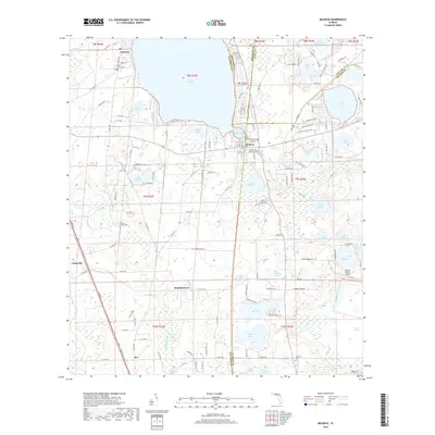
1966 Melrose
Alachua County, FL
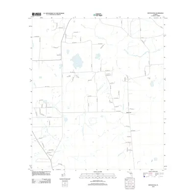
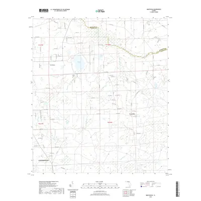
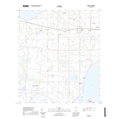
1966 Monteocha
Alachua County, FL
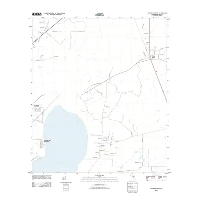
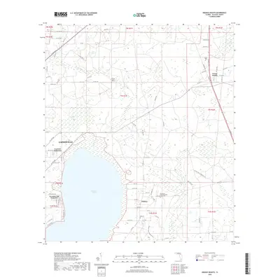
1966 Orange Heights
Alachua County, FL
1966 Rochelle
Alachua County, FL
1994 Gainesville East
Alachua County, FL
1994 Gainesville West
Alachua County, FL
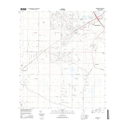
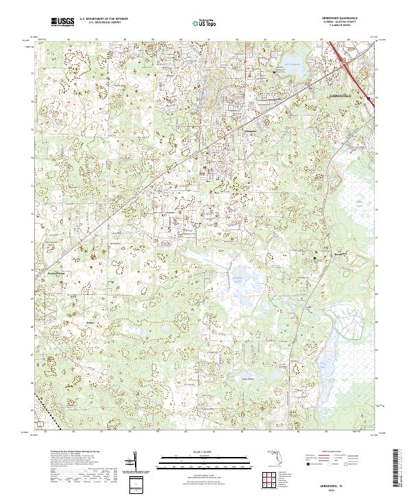
2012 Arredondo
Alachua County, FL
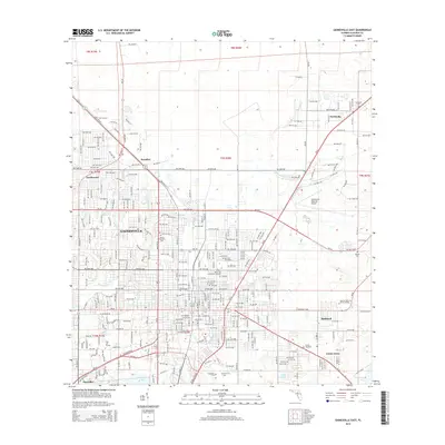
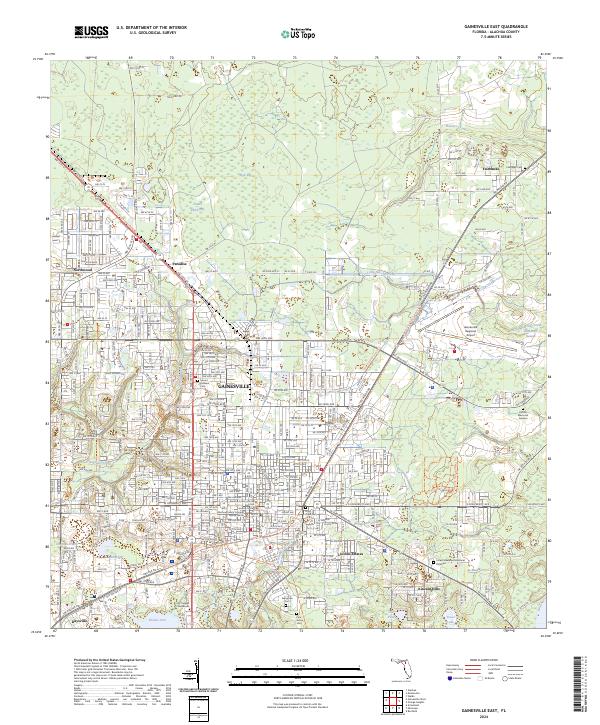
2012 Gainesville East
Alachua County, FL
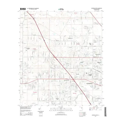
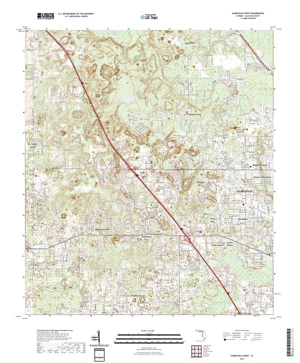
2012 Gainesville West
Alachua County, FL
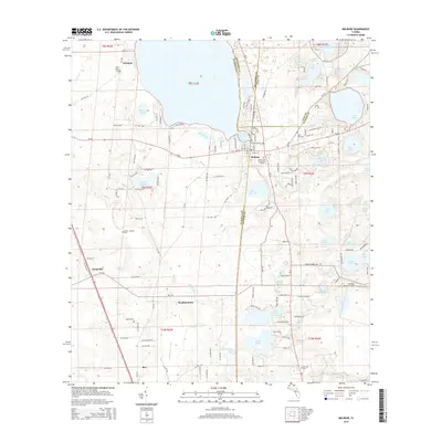
2012 Melrose
Alachua County, FL
2012 Monteocha
Alachua County, FL
2012 Orange Heights
Alachua County, FL
2012 Rochelle
Alachua County, FL
2015 Arredondo
Alachua County, FL
2015 Gainesville East
Alachua County, FL
2015 Gainesville West
Alachua County, FL
2015 Melrose
Alachua County, FL
2015 Monteocha
Alachua County, FL
2015 Orange Heights
Alachua County, FL
2015 Rochelle
Alachua County, FL
2018 Arredondo
Alachua County, FL
2018 Gainesville East
Alachua County, FL
2018 Gainesville West
Alachua County, FL
2018 Melrose
Alachua County, FL
2018 Monteocha
Alachua County, FL
2018 Orange Heights
Alachua County, FL
2018 Rochelle
Alachua County, FL
2021 Arredondo
Alachua County, FL
2021 Gainesville East
Alachua County, FL
2021 Gainesville West
Alachua County, FL
2021 Melrose
Alachua County, FL
2021 Monteocha
Alachua County, FL
2021 Orange Heights
Alachua County, FL
2021 Rochelle
Alachua County, FL
2024 Arredondo
Alachua County, FL
2024 Gainesville East
Alachua County, FL
2024 Gainesville West
Alachua County, FL
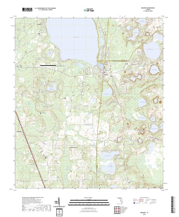
2024 Melrose
Alachua County, FL
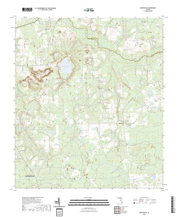
2024 Monteocha
Alachua County, FL
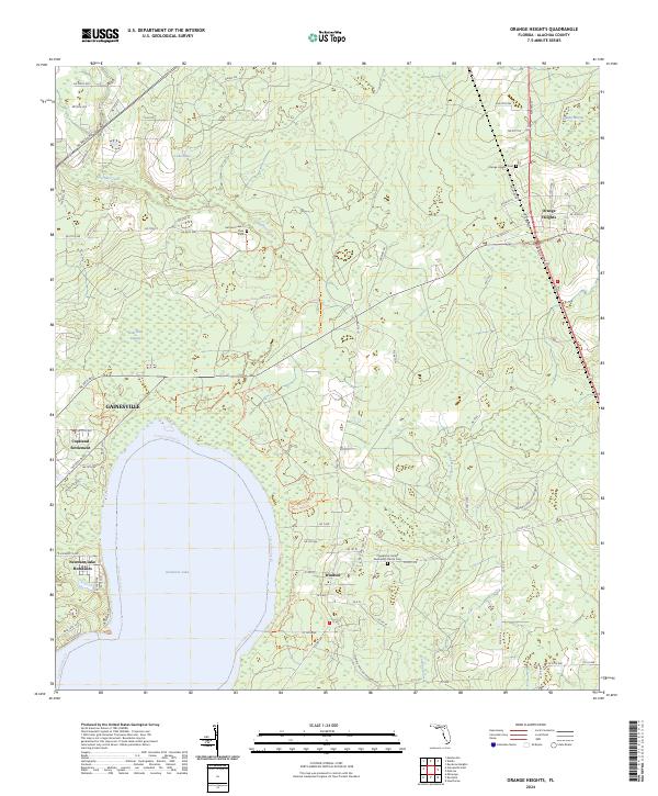
2024 Orange Heights
Alachua County, FL
2024 Rochelle
Alachua County, FL