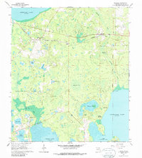
1966 Map of Rochelle
USGS Topo · Published 1988About this map
Large Spanish land grants, specifically the Moses E Levy Grant and the Arredondo Grant, dominate the layout of this Alachua County landscape, as documented in the mid-1960s. The region is defined by a dense network of wetlands and lakes, including Newnans Lake and Lochloosa Lake, connected by smaller water bodies like Tillmans Pond and Mosquito Bay. These features suggest a settlement pattern dictated by the presence of hammocks and prairies, where rail transportation via the Seaboard Coast Line served rural hubs such as Rochelle and Grove Park.
Find a feature on this map
37 named features on this map. Tap any name to fly to it.
Don’t see what you’re looking for? This feature index may not catch every label — zoom into the map to look around manually.
Map Details
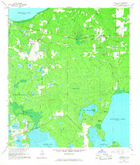
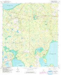
Editions of this 1966 Rochelle Map
3 editions found
Other maps of this area

1890 · Arredondo
USGS Topo · 1:62,500

1892 · Arredondo
USGS Topo · 1:62,500

1893 · Citra
USGS Topo · 1:62,500

1894 · Arredondo
USGS Topo · 1:62,500

1895 · Williston
USGS Topo · 1:62,500

1895 · Citra
USGS Topo · 1:62,500

1938 · Hawthorn
USGS Topo · 1:48,000

1943 · Hawthorn
USGS Topo · 1:62,500

1954 · Gainesville
USGS Topo · 1:250,000

1958 · Gainesville
USGS Topo · 1:250,000