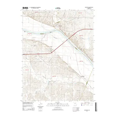
2015 Map of Rocheport
USGS Topo · Published 2015About this map
Rocheport sits at a strategic bend where the Missouri River meets the limestone heights of the Big Manitou Bluffs. This area reflects a long history of transit and settlement, from the river-level routes of the Katy Trl to the upland homesteads marked by the Schmidt Cemetery and Clayton Cemetery. The topography transitions from the wide, fertile bottomlands of the Overton Bottoms Trail to the dissected hills south of the river, where small communities like Overton and Wooldridge are situated near winding waterways like Petite Saline Creek. Local landmarks such as Gum Spring and Robinsons Lake highlight the importance of water sources in this rural landscape, while the township and range boundaries detail the underlying land division of central Missouri.
Find a feature on this map
65 named features on this map. Tap any name to fly to it.
Don’t see what you’re looking for? This feature index may not catch every label — zoom into the map to look around manually.
Map Details
Editions of this 2015 Rocheport Map
This is the sole edition of this map. No revisions or reprints were ever made.
Other maps of this area

1886 · Jefferson City
USGS Topo · 1:125,000

1888 · Boonville
USGS Topo · 1:125,000

1890 · Moberly
USGS Topo · 1:125,000

1890 · Glasgow
USGS Topo · 1:125,000

1894 · Jefferson City
USGS Topo · 1:125,000

1917 · Sturgeon
USGS Topo · 1:62,500

1947 · Jefferson City
USGS Topo · 1:250,000

1948 · Columbia
USGS Topo · 1:62,500

1950 · Columbia
USGS Topo · 1:62,500

1952 · Rocheport
USGS Topo · 1:24,000