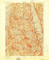
1917 Map of Rochester
USGS Topo · Published 1928About this map
Rochester serves as the central hub of this Green Mountain landscape, situated where the White River meets the valley floor alongside the White River RR. The survey illustrates a rugged era of resource extraction and high-altitude settlement, with the Williams Mine and various camps like Bingo Camp and Michigan Camp tucked into the steep drainages. Transportation through the peaks is remarkably detailed, featuring the Long Trail tracing the ridgelines and the Hancock Tunnel piercing through the terrain. Evidence of early rural education is scattered throughout the valleys, with numerous institutions such as the Steam Mill School, Jerusalem School, and Maple Hill School serving isolated homesteads. The map captures the complex topography of the Vermont interior, where deep gaps like Brandon Gap and Monastery Gap provided the only viable passages between the tightly packed summits of the Bread Loaf and Green Mountain ranges.
Find a feature on this map
128 named features on this map. Tap any name to fly to it.
Don’t see what you’re looking for? This feature index may not catch every label — zoom into the map to look around manually.
Map Details
Editions of this 1917 Rochester Map
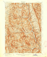
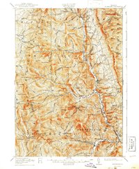
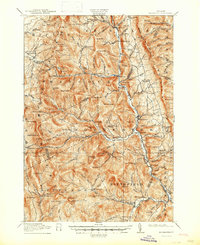
5 editions found

Other maps of this area

1891 · Rutland
USGS Topo · 1:62,500

1893 · Rutland
USGS Topo · 1:62,500

1895 · Castleton
USGS Topo · 1:62,500

1897 · Castleton
USGS Topo · 1:62,500

1902 · Brandon
USGS Topo · 1:62,500

1903 · Middlebury
USGS Topo · 1:62,500

1904 · Brandon
USGS Topo · 1:62,500

1905 · Middlebury
USGS Topo · 1:62,500

1911 · Woodstock
USGS Topo · 1:62,500

1913 · Woodstock
USGS Topo · 1:62,500