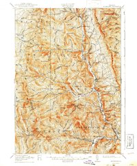
1917 Map of Rochester
USGS Topo · Published 1941About this map
The White River valley carves through the center of this 1917 Vermont survey, serving as the primary corridor for settlements like Rochester, Hancock, and Granville. This era reveals a landscape defined by mountain gaps and localized industry, notably at Talcville and the Williams Mine to the east. Higher elevations are marked by the early path of the Long Trail, which traverses peaks such as Worth Mtn and Mt Carmel, connecting various gaps including Middlebury Gap and Brandon Gap.
Find a feature on this map
143 named features on this map. Tap any name to fly to it.
Don’t see what you’re looking for? This feature index may not catch every label — zoom into the map to look around manually.
Map Details
Editions of this 1917 Rochester Map
5 editions found

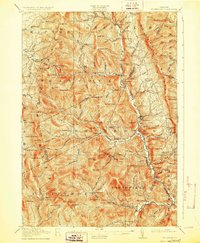
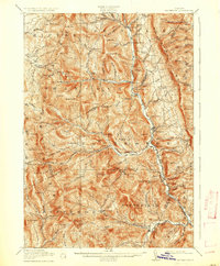
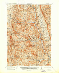
Other maps of this area

1891 · Rutland
USGS Topo · 1:62,500

1893 · Rutland
USGS Topo · 1:62,500

1895 · Castleton
USGS Topo · 1:62,500

1897 · Castleton
USGS Topo · 1:62,500

1902 · Brandon
USGS Topo · 1:62,500

1903 · Middlebury
USGS Topo · 1:62,500

1904 · Brandon
USGS Topo · 1:62,500

1905 · Middlebury
USGS Topo · 1:62,500

1911 · Woodstock
USGS Topo · 1:62,500

1913 · Woodstock
USGS Topo · 1:62,500