
1917 Map of Rochester
USGS Topo · Published 1917About this map
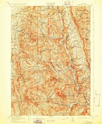
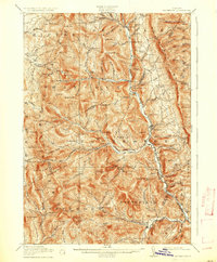
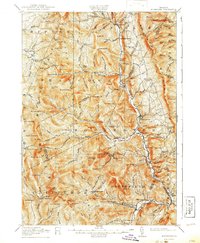
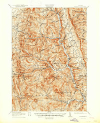
The White River corridor serves as the primary artery through this mountainous region of the Green Mountains, connecting settlements like Rochester and Hancock. The 1917 landscape is dotted with small hilltop and valley schools, such as North Hollow School, Maple Hill School, and Jerusalem School, reflecting a decentralized rural society organized around narrow drainages. Higher elevations are marked by landmarks like Pleiad Lake and Silent Cliff near Middlebury Gap.
Find a feature on this map
116 named features on this map. Tap any name to fly to it.
Don’t see what you’re looking for? This feature index may not catch every label — zoom into the map to look around manually.
Map Details
Editions of this 1917 Rochester Map
5 editions found
Other maps of this area

1891 · Rutland
USGS Topo · 1:62,500

1893 · Rutland
USGS Topo · 1:62,500

1895 · Castleton
USGS Topo · 1:62,500

1897 · Castleton
USGS Topo · 1:62,500

1902 · Brandon
USGS Topo · 1:62,500

1903 · Middlebury
USGS Topo · 1:62,500

1904 · Brandon
USGS Topo · 1:62,500

1905 · Middlebury
USGS Topo · 1:62,500

1911 · Woodstock
USGS Topo · 1:62,500

1913 · Woodstock
USGS Topo · 1:62,500