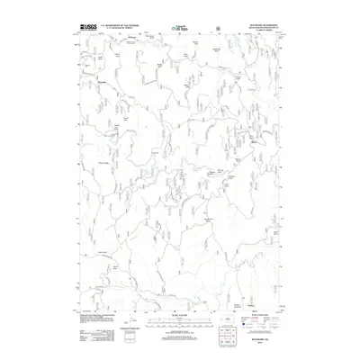
2012 Map of Rochford
USGS Topo · Published 2012About this map
Rochford and the surrounding Black Hills terrain are defined by a complex network of drainages and historical mining-era landmarks. The landscape is carved by Rapid Cr and its numerous tributaries, including the colorfully named Bloody Gulch, Moonshine Gulch, and Bearcat Gulch. To the west, Castle Peak rises as a prominent landmark near the Castle Peak Campground.
Find a feature on this map
62 named features on this map. Tap any name to fly to it.
Don’t see what you’re looking for? This feature index may not catch every label — zoom into the map to look around manually.
Map Details
Editions of this 2012 Rochford Map
This is the sole edition of this map. No revisions or reprints were ever made.
Other maps of this area

1894 · Deadwood
USGS Topo · 1:125,000

1896 · Harney Peak
USGS Topo · 1:125,000

1901 · Harney Peak
USGS Topo · 1:125,000

1901 · Deadwood
USGS Topo · 1:125,000

1916 · Deadwood
USGS Topo · 1:125,000

1953 · Nemo
USGS Topo · 1:24,000

1953 · Rapid City
USGS Topo · 1:250,000

1954 · Silver City
USGS Topo · 1:24,000

1954 · Hill City
USGS Topo · 1:24,000

1955 · Hot Springs
USGS Topo · 1:250,000