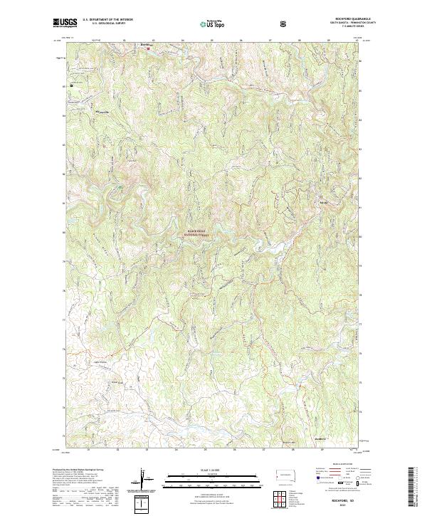
2021 Map of Rochford
USGS Topo · Published 2021About this map
Rochford and the nearby Myersville settlement occupy the north-central corridor of this area, where the George S. Mickelson Trl follows the historical rail grade through the Black Hills National Forest. The landscape is deeply incised by drainages with colorful names like Moonshine Gulch, Bloody Gulch, and Hoodoo Gulch, suggesting the area's prospecting and ranching heritage. Local history is anchored by the Rochford Cem located just west of the town site.
Find a feature on this map
119 named features on this map. Tap any name to fly to it.
Don’t see what you’re looking for? This feature index may not catch every label — zoom into the map to look around manually.
Map Details
Editions of this 2021 Rochford Map
This is the sole edition of this map. No revisions or reprints were ever made.
Other maps of this area

1894 · Deadwood
USGS Topo · 1:125,000

1896 · Harney Peak
USGS Topo · 1:125,000

1901 · Harney Peak
USGS Topo · 1:125,000

1901 · Deadwood
USGS Topo · 1:125,000

1916 · Deadwood
USGS Topo · 1:125,000

1953 · Nemo
USGS Topo · 1:24,000

1953 · Rapid City
USGS Topo · 1:250,000

1954 · Silver City
USGS Topo · 1:24,000

1954 · Hill City
USGS Topo · 1:24,000

1955 · Hot Springs
USGS Topo · 1:250,000