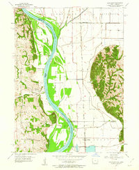
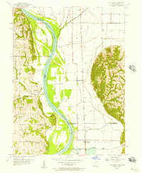
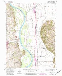
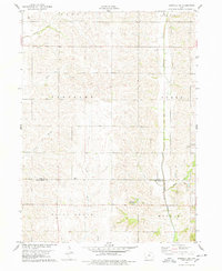
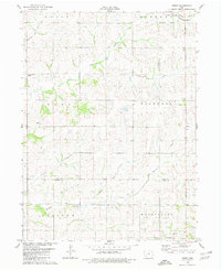
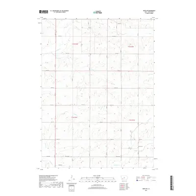
1956 Map of Rock Bluff
USGS Topo · Published 1962About this map
The Missouri River forms a dynamic boundary in this mid-century survey, dividing the bluffs of Nebraska from the broad floodplains of Iowa. The river's path is marked by large landforms including Tobacco Island, Noddleman Island, and Goose Island, showing the shifting nature of the channel before modern stabilization efforts were fully realized. Along the eastern bank, the Chicago Burlington and Quincy railroad anchors the local economy, running parallel to the river through the settlements of Bartlett and Sargents Spur.
Find a feature on this map
34 named features on this map. Tap any name to fly to it.
Don’t see what you’re looking for? This feature index may not catch every label — zoom into the map to look around manually.
Map Details
Editions of this 1956 Rock Bluff Map
3 editions found
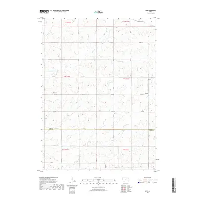
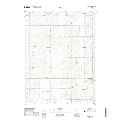
Historical Maps of Bartlett Through Time
18 maps found
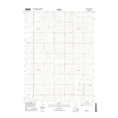
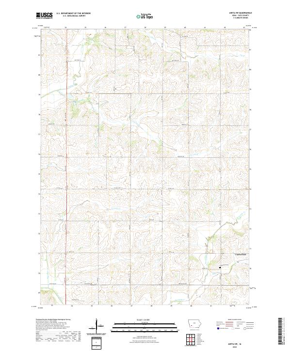
1971 Anita SW
Cass County, IA
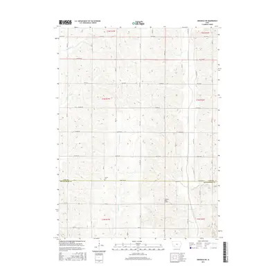
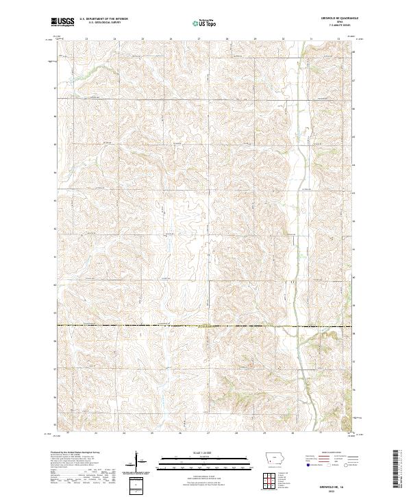
1978 Griswold NE
Cass County, IA
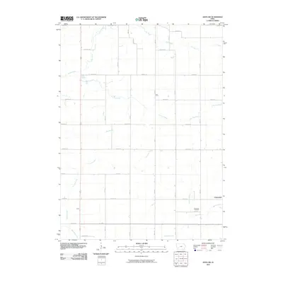
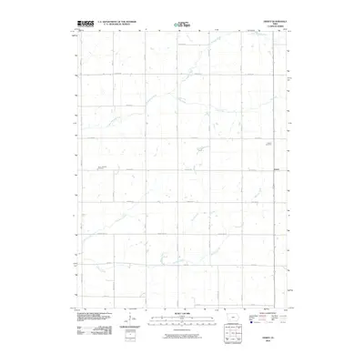
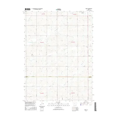
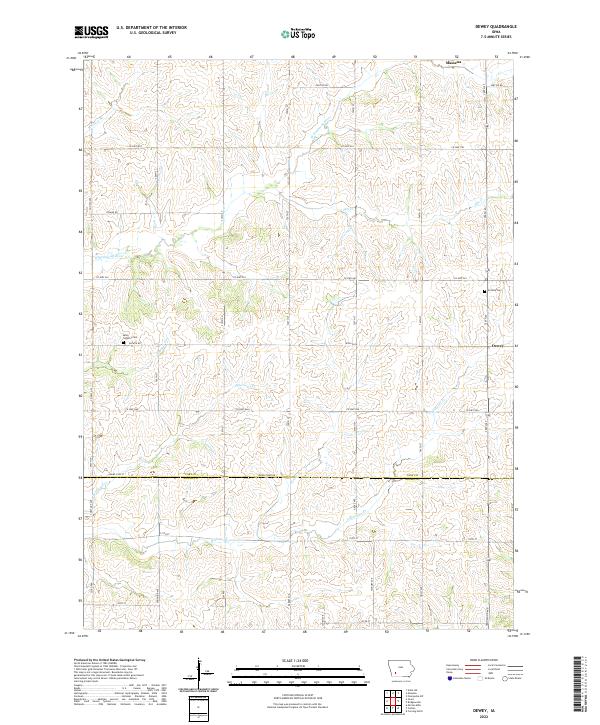
1980 Dewey
Cass County, IA
2010 Anita SW
Cass County, IA
2010 Dewey
Cass County, IA
2010 Griswold NE
Cass County, IA
2013 Anita SW
Cass County, IA
2013 Dewey
Cass County, IA
2013 Griswold NE
Cass County, IA
2015 Anita SW
Cass County, IA
2015 Dewey
Cass County, IA
2015 Griswold NE
Cass County, IA
2018 Anita SW
Cass County, IA
2018 Dewey
Cass County, IA
2018 Griswold NE
Cass County, IA
2022 Anita SW
Cass County, IA
2022 Dewey
Cass County, IA
2022 Griswold NE
Cass County, IA