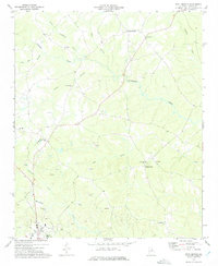
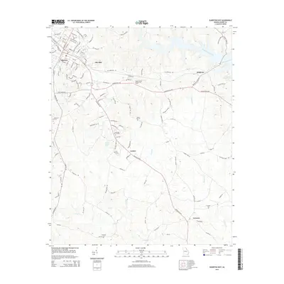
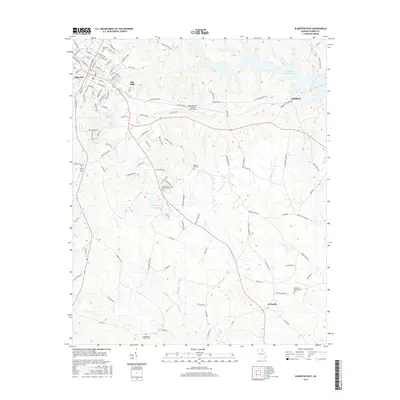
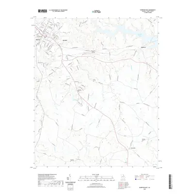
1972 Map of Rock Branch
USGS Topo · Published 1975About this map
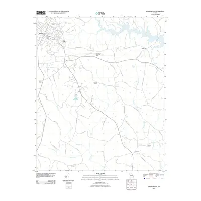
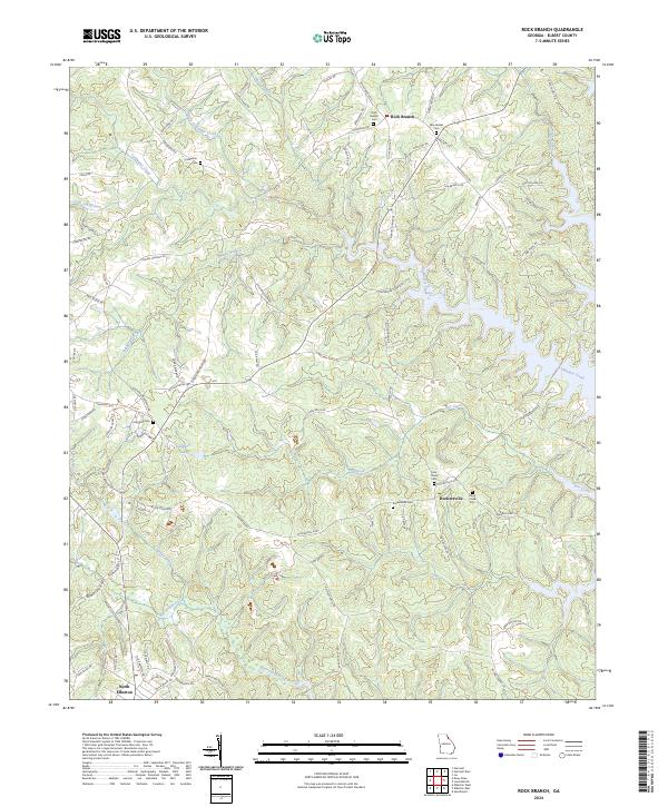
Ruckersville and Rock Branch anchor this rural landscape in Elbert County during the early 1970s. The area is defined by a dense network of small local waterways, including Coldwater Creek, Van Creek, and Beaverdam Creek, which carve through the terrain south of the Hartwell Dam area. A significant industrial presence is visible through numerous Quarry sites scattered across the hills, particularly near the southern edge of the map as it approaches North Elberton.
Find a feature on this map
23 named features on this map. Tap any name to fly to it.
Don’t see what you’re looking for? This feature index may not catch every label — zoom into the map to look around manually.
Map Details
Editions of this 1972 Rock Branch Map
This is the sole edition of this map. No revisions or reprints were ever made.
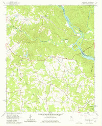
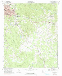
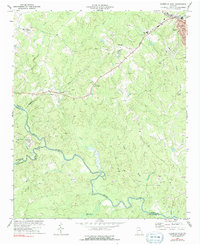
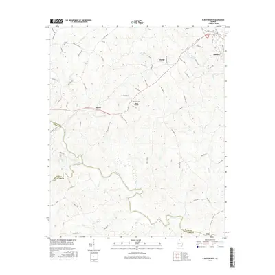
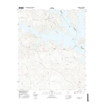
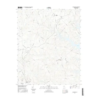
Historical Maps of Elberton Through Time
24 maps found
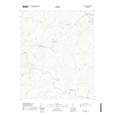
1964 Heardmont
Elbert County, GA
1972 Rock Branch
Elbert County, GA
1973 Elberton East
Elbert County, GA
1973 Elberton West
Elbert County, GA
2011 Elberton East
Elbert County, GA
2011 Elberton West
Elbert County, GA
2011 Heardmont
Elbert County, GA
2011 Rock Branch
Elbert County, GA
2014 Elberton East
Elbert County, GA
2014 Elberton West
Elbert County, GA
2014 Heardmont
Elbert County, GA
2014 Rock Branch
Elbert County, GA
2017 Elberton East
Elbert County, GA
2017 Elberton West
Elbert County, GA
2017 Heardmont
Elbert County, GA
2017 Rock Branch
Elbert County, GA
2020 Elberton East
Elbert County, GA
2020 Elberton West
Elbert County, GA
2020 Heardmont
Elbert County, GA
2020 Rock Branch
Elbert County, GA
2024 Elberton East
Elbert County, GA
2024 Elberton West
Elbert County, GA
2024 Heardmont
Elbert County, GA
2024 Rock Branch
Elbert County, GA