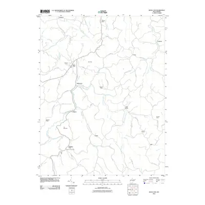
2010 Map of Rock Cave
USGS Topo · Published 2010About this map
The Little Kanawha River and its numerous tributaries, such as Lynn Camp Run and Flatwoods Run, carve through this section of Upshur County. Local life is centered around small settlements like Rock Cave and Kanawha Head, both of which maintained their own postal facilities at the time of this survey, including the Rock Cave Post Office. The road network connects high ridges and low valleys, with routes like Ireland-Rock Cave and Alexander Helvita Rd tracing the complex terrain. Significant family and community landmarks are evident, from the Rock Cave Cemetery to the Mount Zion Cemetery near Zion. The landscape is defined by its prominent heights, such as Prit Mountain and Bob Peak, which overlook a network of rural hamlets including Arlington, Gaines, and Wilsontown.
Find a feature on this map
80 named features on this map. Tap any name to fly to it.
Don’t see what you’re looking for? This feature index may not catch every label — zoom into the map to look around manually.
Map Details
Editions of this 2010 Rock Cave Map
This is the sole edition of this map. No revisions or reprints were ever made.
Other maps of this area

1893 · Buckhannon
USGS Topo · 1:125,000

1896 · Buckhannon
USGS Topo · 1:125,000

1897 · Buckhannon
USGS Topo · 1:125,000

1912 · Sago
USGS Topo · 1:48,000

1912 · Crawford
USGS Topo · 1:48,000

1913 · Hacker Valley
USGS Topo · 1:48,000

1913 · Pickens
USGS Topo · 1:48,000

1914 · Sago
USGS Topo · 1:62,500

1914 · Crawford
USGS Topo · 1:62,500

1915 · Hacker Valley
USGS Topo · 1:62,500