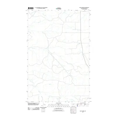
2011 Map of Rock Creek
USGS Topo · Published 2011About this map
Rock Creek meanders through this portion of McCone County, Montana, carving a complex drainage network that defines the local topography. This 2011 survey illustrates a sparse ranching landscape where development is limited to occasional rural corridors like Sunnyside Rd and Jb Rd. The terrain is characterized by a series of significant tributaries, including Long Branch Creek in the south and Schwartz Creek and Nickwall Creek to the north. These waterways represent the primary geographic landmarks in a region dominated by open range and seasonal stream beds. The map provides a precise look at the hydrology of the area, showing how smaller systems like Mud Creek, Sheep Creek, and U P Creek feed into the larger prairie basins.
Find a feature on this map
9 named features on this map. Tap any name to fly to it.
Don’t see what you’re looking for? This feature index may not catch every label — zoom into the map to look around manually.
Map Details
Editions of this 2011 Rock Creek Map
This is the sole edition of this map. No revisions or reprints were ever made.
Other maps of this area

1912 · Chelsea
USGS Topo · 1:62,500

1916 · Wolf Point
USGS Topo · 1:62,500

1954 · Glendive
USGS Topo · 1:250,000

1954 · Wolf Point
USGS Topo · 1:250,000

1957 · Glendive
USGS Topo · 1:250,000

1958 · Wolf Point
USGS Topo · 1:250,000

1958 · Glendive
USGS Topo · 1:250,000

1972 · Chelsea SW
USGS Topo · 1:24,000

1972 · Wolf Point
USGS Topo · 1:24,000

1972 · Macon
USGS Topo · 1:24,000