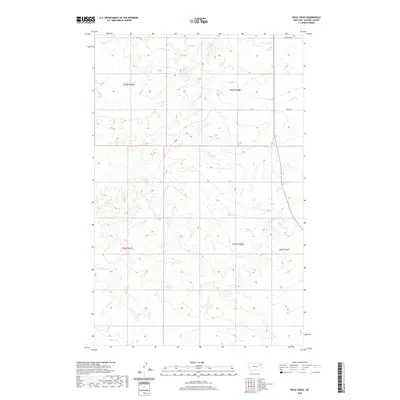
2020 Map of Rock Creek
USGS Topo · Published 2020About this map
Rock Creek winds through this section of McCone County, Montana, carving a complex drainage network across the prairie landscape. The area is defined by its deep coulees and intermittent stream beds, including the notable Gady Coulee in the southeast. This 2020 edition provides a clear record of the rural road system that connects these remote ranchlands, featuring named routes such as Sunnyside Rd and Good Rd. The hydrography of the region is particularly dense, with numerous tributaries like Schwartz Cr, Nickwall Cr, and Sheep Cr branching off to define the local topography. The map illustrates a landscape primarily organized by the Public Land Survey System, with township and range lines like t26n r48e and t25n r47e partitioning the vast open spaces of eastern Montana.
Find a feature on this map
15 named features on this map. Tap any name to fly to it.
Don’t see what you’re looking for? This feature index may not catch every label — zoom into the map to look around manually.
Map Details
Editions of this 2020 Rock Creek Map
This is the sole edition of this map. No revisions or reprints were ever made.
Other maps of this area

1912 · Chelsea
USGS Topo · 1:62,500

1916 · Wolf Point
USGS Topo · 1:62,500

1954 · Glendive
USGS Topo · 1:250,000

1954 · Wolf Point
USGS Topo · 1:250,000

1957 · Glendive
USGS Topo · 1:250,000

1958 · Wolf Point
USGS Topo · 1:250,000

1958 · Glendive
USGS Topo · 1:250,000

1972 · Chelsea SW
USGS Topo · 1:24,000

1972 · Wolf Point
USGS Topo · 1:24,000

1972 · Macon
USGS Topo · 1:24,000