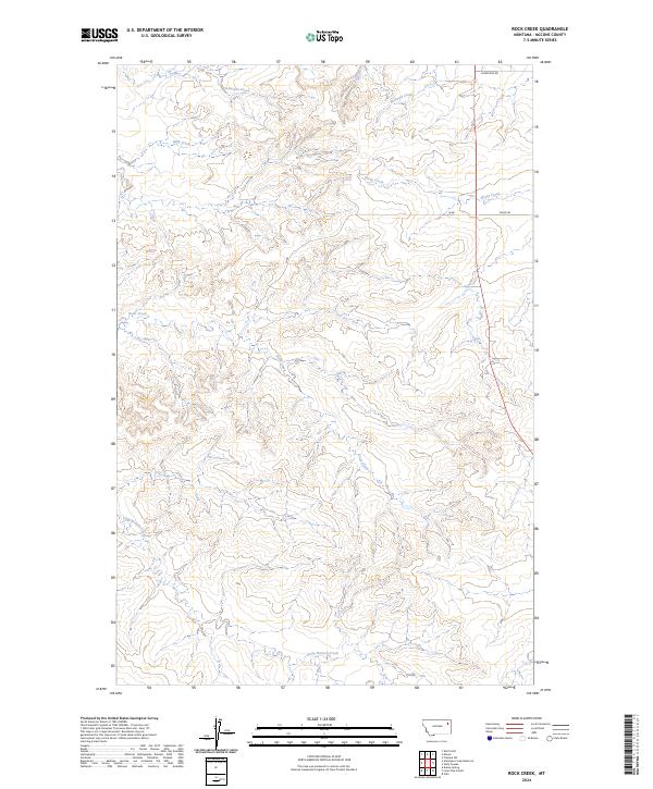
2024 Map of Rock Creek
USGS Topo · Published 2024About this map
Rock Creek flows through this corner of McCone County, Montana, carving a landscape defined by seasonal drainages and cattle country. The drainage network is dense, featuring Schwartz Creek and Nickwall Creek to the north, while Sheep Creek and Mud Creek cut through the central sections. This map captures the expansive rural character of the Big Sky country, where the physical terrain is the primary landmark.
Find a feature on this map
13 named features on this map. Tap any name to fly to it.
Don’t see what you’re looking for? This feature index may not catch every label — zoom into the map to look around manually.
Map Details
Editions of this 2024 Rock Creek Map
This is the sole edition of this map. No revisions or reprints were ever made.
Other maps of this area

1912 · Chelsea
USGS Topo · 1:62,500

1916 · Wolf Point
USGS Topo · 1:62,500

1954 · Glendive
USGS Topo · 1:250,000

1954 · Wolf Point
USGS Topo · 1:250,000

1957 · Glendive
USGS Topo · 1:250,000

1958 · Wolf Point
USGS Topo · 1:250,000

1958 · Glendive
USGS Topo · 1:250,000

1972 · Chelsea SW
USGS Topo · 1:24,000

1972 · Wolf Point
USGS Topo · 1:24,000

1972 · Macon
USGS Topo · 1:24,000