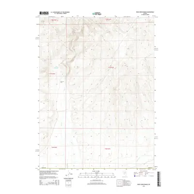
2014 Map of Rock Creek Ranch
USGS Topo · Published 2014About this map
Rock Creek Ranch sits as the primary human landmark in this section of Elko County, serving as a focal point for land use in a region dominated by drainage patterns and cattle-ranching geography. The flow of Rock Creek winds southward through the center of the survey, vital for the local hydrology and supporting the Rock Creek Reservoir located in the northwest. To the southeast, the course of Antelope Creek cuts across the landscape, illustrating the essential relationship between water sources and settlement in the Nevada high desert. This 2014 survey by the U.S. Geological Survey captures the topographic reality of these stream beds and grazing lands, providing a clear record of the terrain within several northern Nevada townships.
Find a feature on this map
11 named features on this map. Tap any name to fly to it.
Don’t see what you’re looking for? This feature index may not catch every label — zoom into the map to look around manually.
Map Details
Editions of this 2014 Rock Creek Ranch Map
This is the sole edition of this map. No revisions or reprints were ever made.
Other maps of this area

1955 · McDermitt
USGS Topo · 1:250,000

1955 · Winnemucca
USGS Topo · 1:250,000

1958 · Winnemucca
USGS Topo · 1:250,000

1959 · McDermitt
USGS Topo · 1:250,000

1962 · Winnemucca
USGS Topo · 1:250,000

1965 · Izzenhood Gap
USGS Topo · 1:24,000

1965 · Sixmile Hill
USGS Topo · 1:24,000

1965 · Willow Creek Reservoir
USGS Topo · 1:24,000

1965 · Sheep Creek Range NE
USGS Topo · 1:24,000

1965 · Sheep Creek Range NW
USGS Topo · 1:24,000