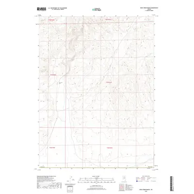
2018 Map of Rock Creek Ranch
USGS Topo · Published 2018About this map
Rock Creek Ranch serves as the central focal point of this 2018 survey within Elko Co, Nevada. The landscape is defined by the high-desert topography of the Great Basin, where seasonal watercourses and drainage patterns are meticulously traced through the Public Land Survey System (PLSS) grids of t37n r46e, t37n r47e, and surrounding townships. This map offers a modern look at a remote ranching interior, illustrating the sparse road network and human footprint in a region dominated by relief and elevation. The document provides clear evidence of how land use and property boundaries in this part of northern Nevada remain anchored to the historic ranching operations and legal township lines established over a century ago.
Find a feature on this map
8 named features on this map. Tap any name to fly to it.
Don’t see what you’re looking for? This feature index may not catch every label — zoom into the map to look around manually.
Map Details
Editions of this 2018 Rock Creek Ranch Map
This is the sole edition of this map. No revisions or reprints were ever made.
Other maps of this area

1955 · McDermitt
USGS Topo · 1:250,000

1955 · Winnemucca
USGS Topo · 1:250,000

1958 · Winnemucca
USGS Topo · 1:250,000

1959 · McDermitt
USGS Topo · 1:250,000

1962 · Winnemucca
USGS Topo · 1:250,000

1965 · Izzenhood Gap
USGS Topo · 1:24,000

1965 · Sixmile Hill
USGS Topo · 1:24,000

1965 · Willow Creek Reservoir
USGS Topo · 1:24,000

1965 · Sheep Creek Range NE
USGS Topo · 1:24,000

1965 · Sheep Creek Range NW
USGS Topo · 1:24,000