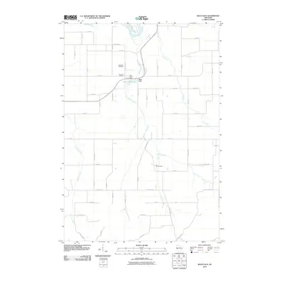
2010 Map of Rock Falls
USGS Topo · Published 2010About this map
Rock Falls serves as the primary settlement on this landscape, positioned where Rock Creek meets the Rock Falls Millpond. The local hydraulic infrastructure is defined by the Rock Falls Dam and the Hayden E-7286 Dam, which manage the water flow near the confluence with the Chippewa River. The surrounding terrain is organized by a systematic grid of numbered roads and county highways, characteristic of the rural Midwest, which connect various family and community sites. Genealogists will find particular value in the locations of Rock Creek Cemetery north of the main settlement and East Pepin Cemetery further south. The drainage patterns of the area are further defined by the meandering courses of Coon Creek in the northeast and Cranberry Creek to the west, illustrating the varied hydrology of the Rock Creek watershed before it joins the larger river system.
Find a feature on this map
54 named features on this map. Tap any name to fly to it.
Don’t see what you’re looking for? This feature index may not catch every label — zoom into the map to look around manually.
Map Details
Editions of this 2010 Rock Falls Map
This is the sole edition of this map. No revisions or reprints were ever made.
Other maps of this area

1929 · Durand
USGS Topo · 1:62,500

1932 · Durand
USGS Topo · 1:62,500

1932 · Mondovi
USGS Topo · 1:62,500

1934 · Elk Mound
USGS Topo · 1:62,500

1936 · Elk Mound
USGS Topo · 1:62,500

1940 · Menomonie
USGS Topo · 1:62,500

1942 · Menomonie
USGS Topo · 1:62,500

1953 · Eau Claire
USGS Topo · 1:250,000

1958 · Eau Claire
USGS Topo · 1:250,000

1964 · Eau Claire
USGS Topo · 1:250,000