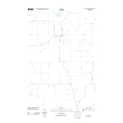
2013 Map of Rock Falls
USGS Topo · Published 2013About this map
Rock Falls sits at a primary hydrological junction where the Rock Cr system meets the Chippewa River corridor in this 2013 survey of Dunn County. The local landscape is defined by the Rock Falls Millpond, a central water feature that suggests the area’s historic industrial reliance on water power. The surrounding terrain is organized by a disciplined grid of rural roads, including State Road 85 and County Hwy-H, which connect the settlement to the agricultural hinterlands. Numerous smaller tributaries like Coon Cr, Little Rock Cr, and Cranberry Cr carve through the landscape, illustrating the complex drainage patterns of the Chippewa Valley. This map provides a clear record of the modern rural infrastructure and land use, from family-named routes like Spehle Rd and Gueldner Rd to the established county highway system.
Find a feature on this map
58 named features on this map. Tap any name to fly to it.
Don’t see what you’re looking for? This feature index may not catch every label — zoom into the map to look around manually.
Map Details
Editions of this 2013 Rock Falls Map
This is the sole edition of this map. No revisions or reprints were ever made.
Other maps of this area

1929 · Durand
USGS Topo · 1:62,500

1932 · Durand
USGS Topo · 1:62,500

1932 · Mondovi
USGS Topo · 1:62,500

1934 · Elk Mound
USGS Topo · 1:62,500

1936 · Elk Mound
USGS Topo · 1:62,500

1940 · Menomonie
USGS Topo · 1:62,500

1942 · Menomonie
USGS Topo · 1:62,500

1953 · Eau Claire
USGS Topo · 1:250,000

1958 · Eau Claire
USGS Topo · 1:250,000

1964 · Eau Claire
USGS Topo · 1:250,000