Loading...
Loading map...2022 Map of Rock Falls
USGS Topo · Published 2022About this map
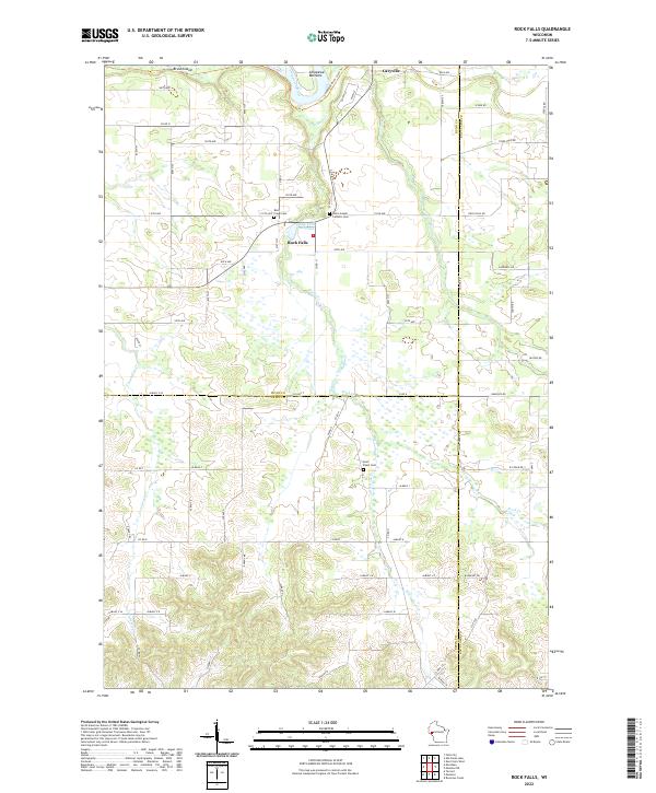
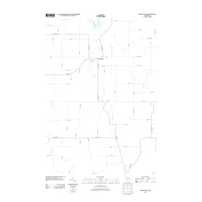
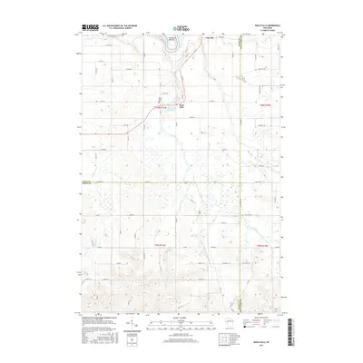
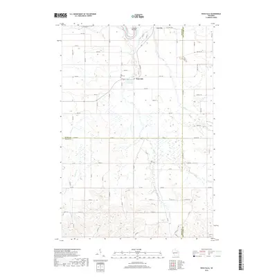
Rock Falls and the surrounding river bottomlands define this portion of the Chippewa valley at the borders of Dunn, Pepin, and Eau Claire counties. The settlement is centered near the Rock Falls Millpond, where Rock Cr meets the main channel, creating a landscape shaped by water and timber transport. Further north, Caryville sits near the Chippewa River State Trl, an area marked by the wide, marshy expanse of the Chippewa Bottoms and Brush Island.
Find a feature on this map
82 named features on this map. Tap any name to fly to it.
Don’t see what you’re looking for? This feature index may not catch every label — zoom into the map to look around manually.
Map Details
Date Portrayed2022
Date Published2022
PublisherU.S. Geological Survey
Map TypeTopographic
Scale1:24,000
Physical Dimensions24 x 29 inches
Editions of this 2022 Rock Falls Map
This is the sole edition of this map. No revisions or reprints were ever made.
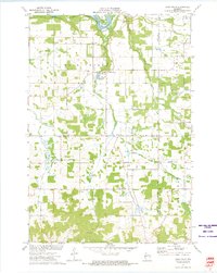
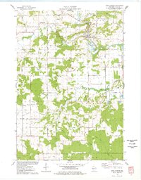
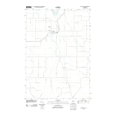
Historical Maps of Rock Falls Through Time
7 maps found
Featured Locations
Source Details
SourceU.S. Geological Survey
CopyrightPublic Domain